Enable Location

We need your location to show you interesting places around you

Discover nearby places

Find interesting locations and hidden gems around you

Precise directions

Get accurate directions and distances to places

Your location is never shared with other users. It's only used when you tap the location button.

Pasinger Stadtpark

Log in to your account

Start exploring — it's free

Trusted by 63,010 travelers worldwide

Continue with Google
Continue with Apple
or

We will send you a code to connect

By continuing, you accept our Terms and Conditions and our Privacy Policy

Check your inbox

We've sent a pincode in your inbox. Please enter the code below.

Discussion Reviews 1 Photos
1.9k Popularity

Pasinger Stadtpark, Urban park at Pasing district, Germany.

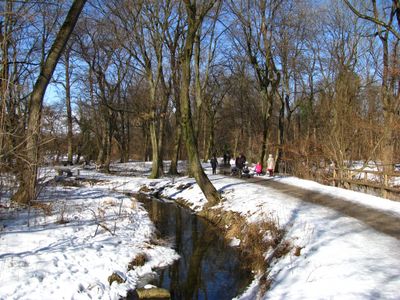
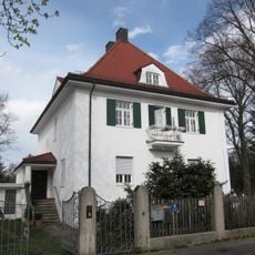
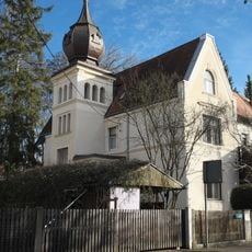
Pasinger Stadtpark is a green space of about 18 hectares spread across both sides of the Würm River, with meadows, trees, and a network of walking paths to explore. The park sits next to historic monastery buildings, with routes threading through the grounds where people seek out different spots depending on light and weather.

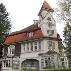
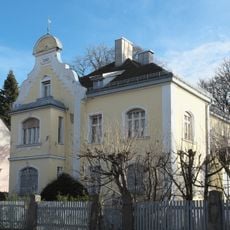
A king established the grounds as a park around his country house in 1815, which later became a castle. In the 1920s, a religious community made major changes by removing streets and transferring land to the city, turning it into the public space it is today.

The name reflects the district it sits in, and today visitors experience a mix of open meadows and shaded groves where locals walk, sit, and let children play along the water. The layout shows how the area shifted from royal grounds to public space where people from the neighborhood spend their everyday time.

The park is accessible from Hugo-Fey-Weg street in the Pasing-Obermenzing area and sits close to Pasing railway station for easy arrival. The paths work for various activities, but be aware that ground gets softer after rain, making sturdy shoes a good choice.

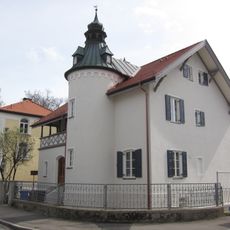
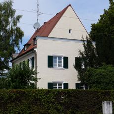
Many visitors overlook that a historic monastery building (the Church of Mariä Geburt) links the park to an attached cloister garden, creating one connected green network. This connection reveals how nature and religious spaces intertwine in this part of Munich.

The community of curious travelers

AroundUs brings together thousands of curated places, local tips, and hidden gems, enriched daily by 60,000 contributors worldwide.

Start exploring
Location
Address
Josef-Osterhuber-Platz 9
GPS coordinates
48.13777,11.45211
Latest update
December 9, 2025 12:24
Reviews
Share your experience

No review yet

Discussions
Start a discussion...

No discussion yet

« Pasinger Stadtpark - Urban park at Pasing district, Germany » is provided by Around Us (aroundus.com). Images and texts are derived from Wikimedia project under a Creative Commons license. You are allowed to copy, distribute, and modify copies of this page, under the conditions set by the license, as long as this note is clearly visible.

Discover hidden gems everywhere you go!

From secret cafés to breathtaking viewpoints, skip the crowded tourist spots and find places that match your style. Our app makes it easy with voice search, smart filtering, route optimization, and insider tips from travelers worldwide. Download now for the complete mobile experience.

Around Us App Screenshot

A unique approach to discovering new places

Le Figaro

All the places worth exploring

France Info

A tailor-made excursion in just a few clicks

20 Minutes

Around Us
Travel Guide & Maps
Download

Send to your phone

QR Code
1

Open the camera app on your mobile.

2

Point at the QR code with your camera. A notification will appear.

3

Tap the notification to open the link.