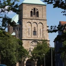
Wanne-Eickel, Administrative district in Herne, Germany
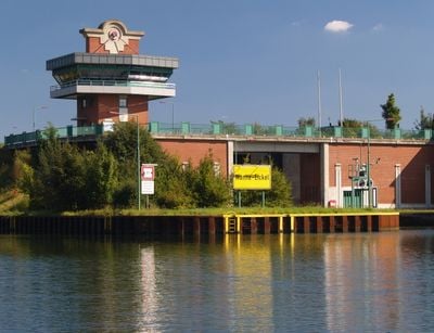
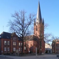
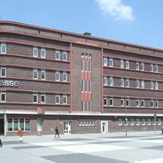
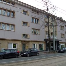
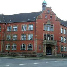
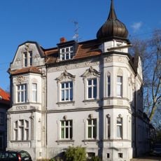
Wanne-Eickel is an administrative district in the northern part of Herne, Germany, spreading across an elevation of roughly 60 meters between the Rhine-Herne Canal and motorways A42 and A43. The area divides into several neighborhoods, including historic Crange and former mining settlements.
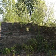
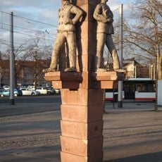
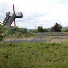
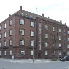
Coal pits attracted workers to this region from 1856 onward, transforming farmland into a densely populated industrial center within decades. The mines closed gradually between the 1960s and 1993, marking the shift toward the residential area it is now.
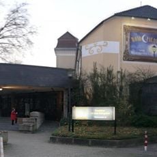
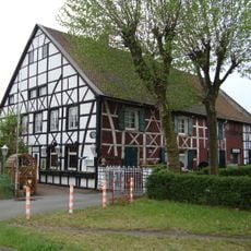
Crange hosts a fair each summer that draws families from across the region to its rides, stalls and food stands along the Emscher tributary. The name recalls a medieval horse market that gradually evolved into the fairground crowds know today.
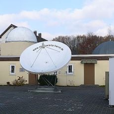
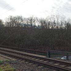
The district sits near several exits on motorways A42 and A43, making it straightforward to reach by car. Regional trains and bus lines connect the neighborhoods within the area and link them to surrounding cities in the Ruhr region.
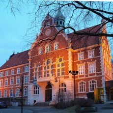
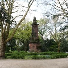
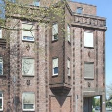
Before merging with Herne in 1975, this part of the Ruhr held the title of Germany's most densely populated city, with over 5100 residents per square kilometer. Street names and monuments today recall the coal pits that shaped the townscape for more than a century.
The community of curious travelers
AroundUs brings together thousands of curated places, local tips, and hidden gems, enriched daily by 60,000 contributors worldwide.