
Kirchdorf, municipality of Germany
Location: Kelheim
Elevation above the sea: 412 m
Website: http://www.gemeinde-kirchdorf.de
Part of: Verwaltungsgemeinschaft Siegenburg
Website: http://gemeinde-kirchdorf.de
GPS coordinates: 48.76667,11.91667
Latest update: March 3, 2025 13:33

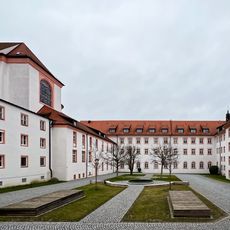
Braunau in Rohr Abbey
3.7 km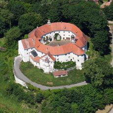
Schloss Wildenberg
3.9 km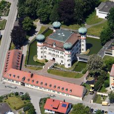
Schloss Offenstetten
4.2 km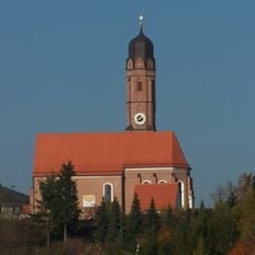
St. Andreas
4.6 km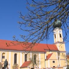
Sankt Vitus (Offenstetten)
4.2 km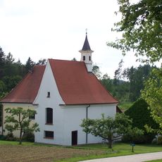
Loretto Chapel (Rohr in Lower Bavaria)
3.8 km
Kirche
3.8 km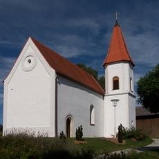
St. Petrus
1.3 km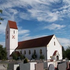
St. Elisabeth
1 km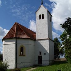
Katholische Kirche St. Georg
3.9 km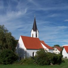
Kirche St. Laurentius
2.2 km
Katholische Filialkirche St. Maria
3.4 km
Filialkirche Heilig-Kreuz-Kirche
4.4 km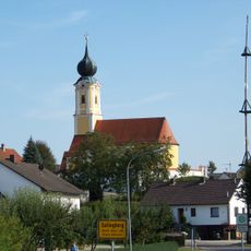
Sallingberg St. Michael
2.9 km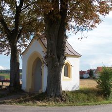
Straßenkapelle, die Kapelle ist unter dem Namen Prasterkapelle bekannt
3.6 km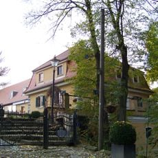
Großes Wirtschaftsgebäude
4.4 km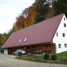
Bauernhaus
4.4 km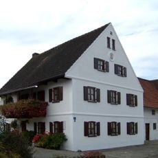
Bauernhaus
4.8 km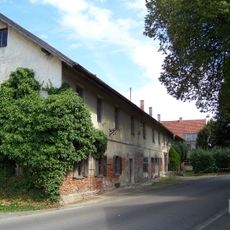
Dr. Hausner Horst
4.2 km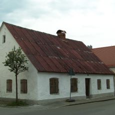
Ehemaliges Handwerkerhaus
5 km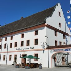
Ehemaliges Klostergasthaus
3.6 km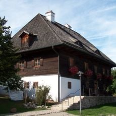
Ehemaliger Pfarrhof
1.1 km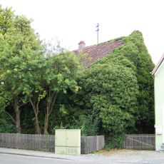
Wohnhaus, ehemaliges Gesindehaus der Brauerei Loibl
5.1 km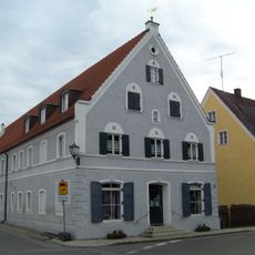
Wohn- und Wirtschaftsgebäude
5 km
Naturschutzgebiet 'Binnendünen bei Siegenburg und Offenstetten'
4.6 km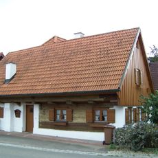
Ehemaliges Söldnerhaus
4.9 km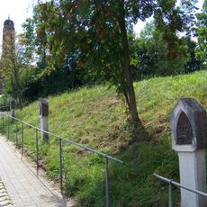
Kreuzweg
4.5 km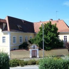
Pfarrhof
4.5 kmReviews
Visited this place? Tap the stars to rate it and share your experience / photos with the community! Try now! You can cancel it anytime.
Discover hidden gems everywhere you go!
From secret cafés to breathtaking viewpoints, skip the crowded tourist spots and find places that match your style. Our app makes it easy with voice search, smart filtering, route optimization, and insider tips from travelers worldwide. Download now for the complete mobile experience.

A unique approach to discovering new places❞
— Le Figaro
All the places worth exploring❞
— France Info
A tailor-made excursion in just a few clicks❞
— 20 Minutes