Wildberg, Municipal town in Calw District, Baden-Württemberg, Germany
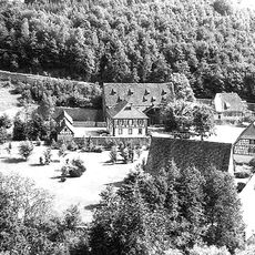
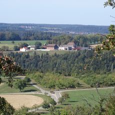
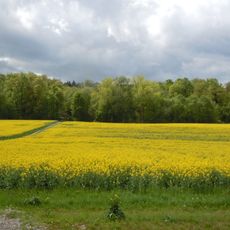
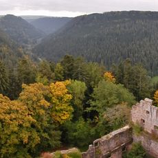
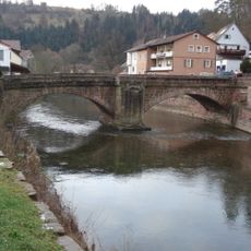
Wildberg is a town in Calw District, Baden-Württemberg, situated at the base of a medieval castle that overlooks the Nagold Valley. The settlement spreads across rolling terrain and comprises several distinct neighborhoods connected by regional roads and rail lines.
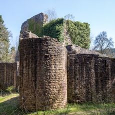
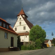
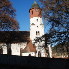
The County of Hohenberg founded the settlement around 1281, decades after the Palatinate counts of Tübingen had built a fortress in the valley. This fortress became the anchor for growth as people gradually established communities in the surrounding area.
The castle towering above the valley has shaped how people settled and built their community over centuries. The medieval fortress remains a focal point that connects the different neighborhoods across the landscape.
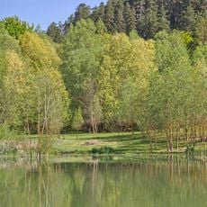
The town connects to the region via Bundesstraße 463 and the Nagold Valley Railway, making it easy to reach from nearby areas. Visitors should wear sturdy shoes since the terrain is hilly and uneven, especially when exploring the castle ruins and walking between neighborhoods.
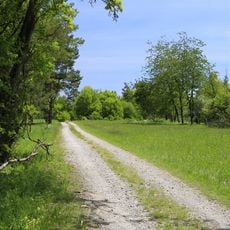
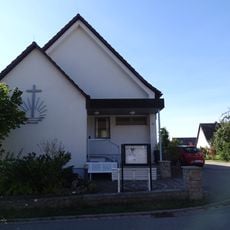
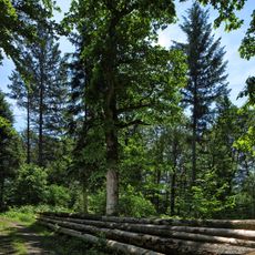
Five separate village centers form this municipality: Effringen, Gültlingen, Schönbronn, Sulz am Eck, and Wildberg, each with its own character strung along the valley. Smaller hamlets like Haselstaller Höfe add to this dispersed pattern of settlement that visitors often find surprising.
The community of curious travelers
AroundUs brings together thousands of curated places, local tips, and hidden gems, enriched daily by 60,000 contributors worldwide.