
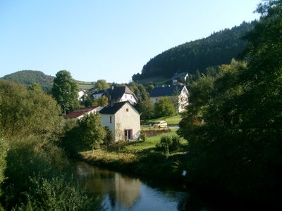
Übereisenbach, municipality of Germany
Location: Eifelkreis Bitburg-Prüm
Elevation above the sea: 280 m
Website: http://www.suedeifelinfo.de
Shares border with: Parc Hosingen, Gemünd
Website: http://suedeifelinfo.de
GPS coordinates: 50.00167,6.14833
Latest update: March 12, 2025 16:01
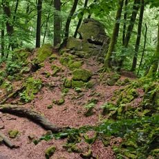
German-Luxembourg Nature Park
2 km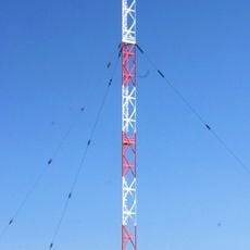
Marnach transmitter
6.5 km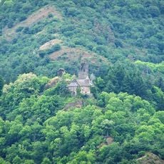
Schloß Falkenstein
4.9 km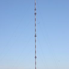
FM- and TV-mast Hosingen
3.8 km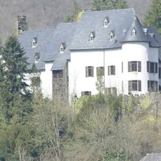
Stolzembourg Castle
4.2 km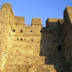
Burg Dasburg
5.2 km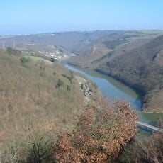
Parc naturel de l'Our / Naturpark Our
3.6 km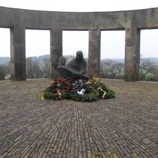
Ehrenfriedhof Daleiden
7.9 km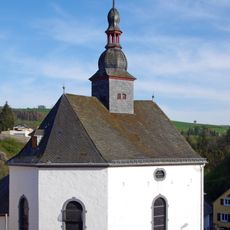
St. Jakobus
5.3 km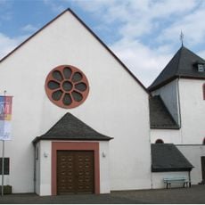
St. Servatius und St. Matthias (Dahnen)
7.8 km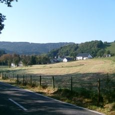
Obereisenbach
4.7 km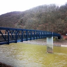
Passerelle de Bivels
5.6 km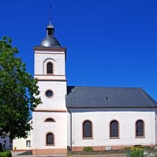
Church St. Peter
3.9 km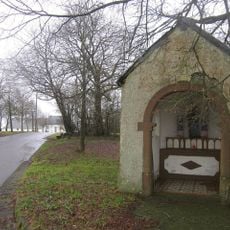
Wegkapelle
3.6 km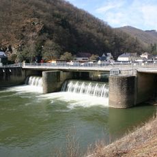
Stolzembourg - Keppeshausen Our Bridge
4.5 km
Chapelle Notre-Dame des Douleurs
4.3 km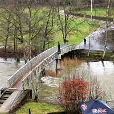
Wanderbrücke Dornauelsmühle
3.6 km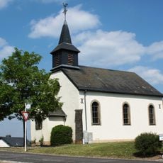
Chapelle Saint-Aubin
4.7 km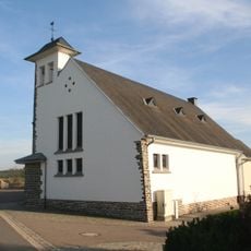
Église Saint-Luc
6.7 km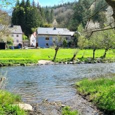
Bréck op der Frankemillen
4.6 km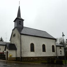
Église Saint-Eloi
7.6 km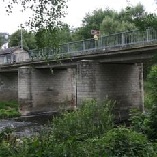
Bréck vun Eesbech
259 m
US-Monument op der Doosber Bréck
5.6 km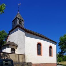
Kapelle Affler
1.5 km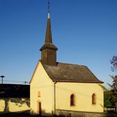
Sankt Quirinus
5.9 km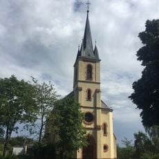
St. Jakobus der Ältere
3.6 km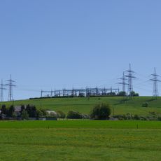
Bauler switching station
6.6 km
Memorial
5.9 kmReviews
Visited this place? Tap the stars to rate it and share your experience / photos with the community! Try now! You can cancel it anytime.
Discover hidden gems everywhere you go!
From secret cafés to breathtaking viewpoints, skip the crowded tourist spots and find places that match your style. Our app makes it easy with voice search, smart filtering, route optimization, and insider tips from travelers worldwide. Download now for the complete mobile experience.

A unique approach to discovering new places❞
— Le Figaro
All the places worth exploring❞
— France Info
A tailor-made excursion in just a few clicks❞
— 20 Minutes