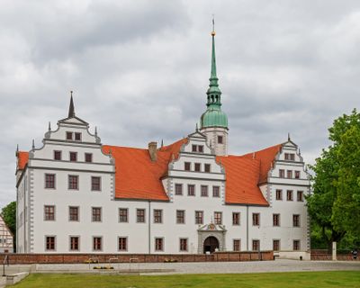
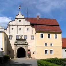
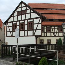
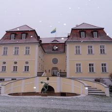
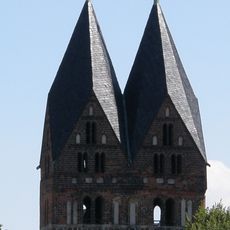
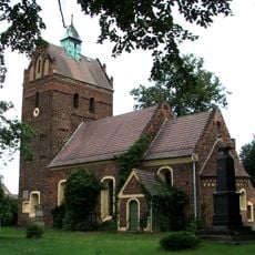
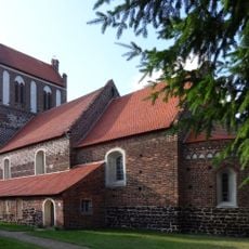
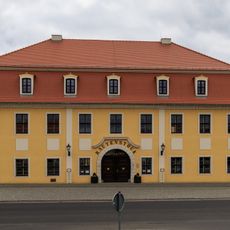
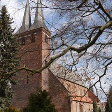
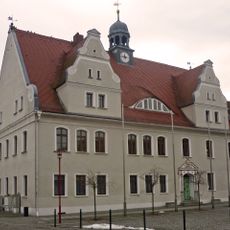
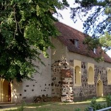
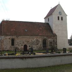
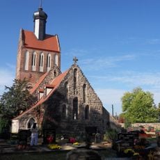
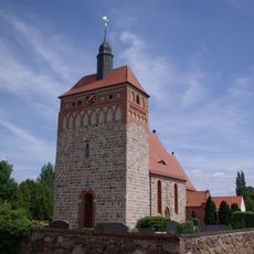
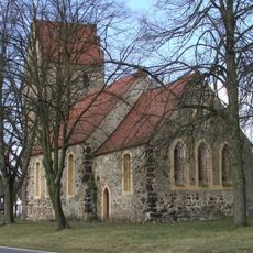
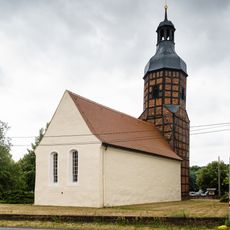
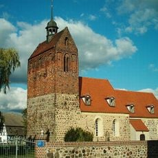
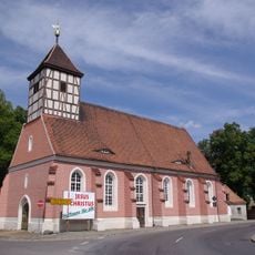
Doberlug-Kirchhain, municipality in the south of Brandenburg state, Germany
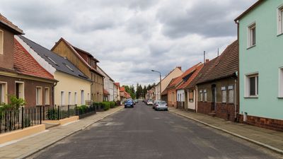
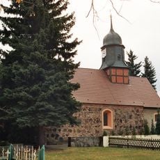
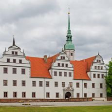
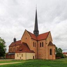
Doberlug-Kirchhain is a town in Brandenburg formed by merging two adjacent municipalities. The settlement spreads across a rural area with older buildings that reflect the structure of a typical eastern German small town.
The town took its present form when Doberlug and Kirchhain merged in 2002. This administrative consolidation represents a significant turning point in the region's recent governance.
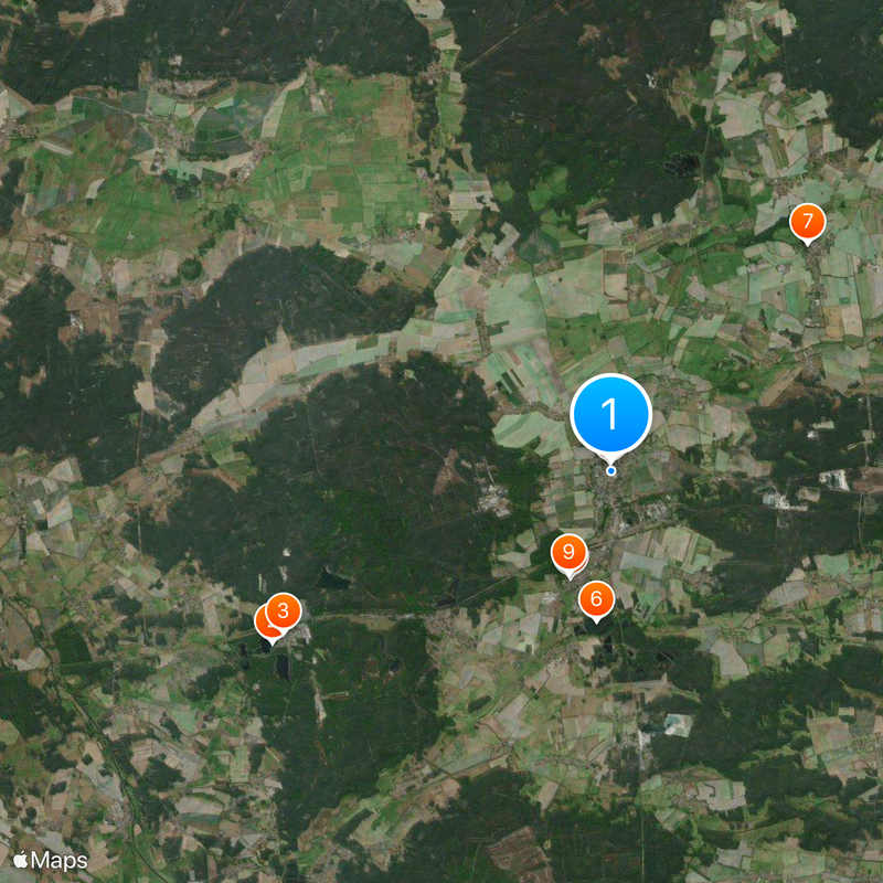
The town is easy to reach by car and provides access to local services and facilities for visitors. As a rural location, expect longer walks between areas and plan your route accordingly.
The community of curious travelers
AroundUs brings together thousands of curated places, local tips, and hidden gems, enriched daily by 60,000 contributors worldwide.