Enable Location

We need your location to show you interesting places around you

Discover nearby places

Find interesting locations and hidden gems around you

Precise directions

Get accurate directions and distances to places

Your location is never shared with other users. It's only used when you tap the location button.

Hoppegarten

Log in to your account

Start exploring — it's free

Trusted by 63,117 travelers worldwide

Continue with Google
Continue with Apple
or

We will send you a code to connect

By continuing, you accept our Terms and Conditions and our Privacy Policy

Check your inbox

We've sent a pincode in your inbox. Please enter the code below.

Discussion Reviews 1 Photos
24.7k Popularity

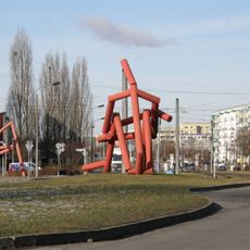
Hoppegarten, Administrative municipality in Märkisch-Oderland District, Germany.

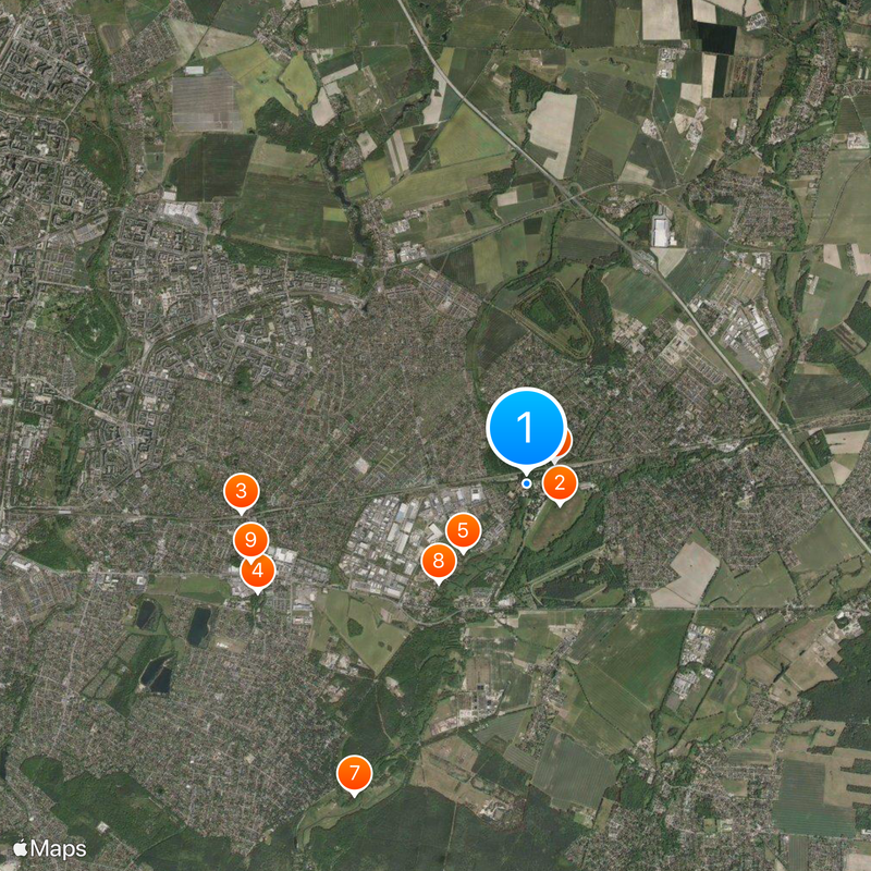
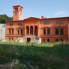
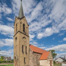
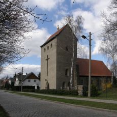
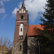
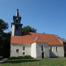
Hoppegarten is a municipality in the Märkisch-Oderland District east of Berlin. It was formed in 2003 through the merger of three communities and today encompasses diverse residential areas and local neighborhoods.

The municipality was formed in 2003 by merging three separate towns: Hönow, Münchehofe, and Dahlwitz-Hoppegarten. This consolidation unified the administration and infrastructure of what were previously independent communities.

The municipality maintains connections with sister cities that foster regular exchanges and shared cultural activities. These partnerships shape how the community views itself and its openness to the wider world.

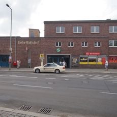
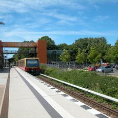
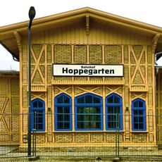
The S-Bahn S5 line serves the area with stations at Birkenstein and Hoppegarten. The U5 underground line also reaches into the municipality, ending at Hönow and providing direct access to Berlin.

The location sits close enough to Berlin that residents can reach the city quickly while living in a quieter area with open space. This proximity makes it attractive to people seeking a residential setting outside the urban core while maintaining easy access to the capital.

The community of curious travelers

AroundUs brings together thousands of curated places, local tips, and hidden gems, enriched daily by 60,000 contributors worldwide.

Start exploring
Elevation above the sea
54 m
Shares border with
Schöneiche bei Berlin, Altlandsberg
Address
Lindenallee 14, 15366 Hoppegarten
GPS coordinates
52.51555,13.66777
Latest update
December 20, 2025 12:17
Reviews
Share your experience

No review yet

Discussions
Start a discussion...

No discussion yet

« Hoppegarten - Administrative municipality in Märkisch-Oderland District, Germany » is provided by Around Us (aroundus.com). Images and texts are derived from Wikimedia project under a Creative Commons license. You are allowed to copy, distribute, and modify copies of this page, under the conditions set by the license, as long as this note is clearly visible.

Discover hidden gems everywhere you go!

From secret cafés to breathtaking viewpoints, skip the crowded tourist spots and find places that match your style. Our app makes it easy with voice search, smart filtering, route optimization, and insider tips from travelers worldwide. Download now for the complete mobile experience.

Around Us App Screenshot

A unique approach to discovering new places

Le Figaro

All the places worth exploring

France Info

A tailor-made excursion in just a few clicks

20 Minutes

Around Us
Travel Guide & Maps
Download

Send to your phone

QR Code
1

Open the camera app on your mobile.

2

Point at the QR code with your camera. A notification will appear.

3

Tap the notification to open the link.