
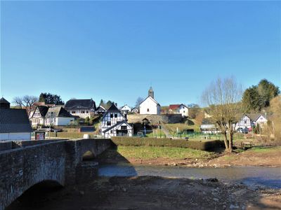
Ahrdorf, human settlement in Germany
Location: Blankenheim
Elevation above the sea: 340 m
GPS coordinates: 50.37278,6.77750
Latest update: March 3, 2025 02:33
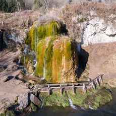
Dreimühlen waterfall
5.4 km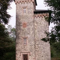
Aremberg Castle
5.6 km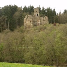
Burg Neublankenheim
1.7 km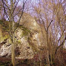
Ruine Dreimühlen
5.2 km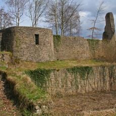
Burgruine Schloßthal
5.1 km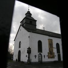
St. Gertrud
6.4 km
Burg Neuweiler
4.9 km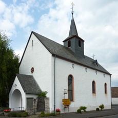
St. Martin (Freilingen)
5.3 km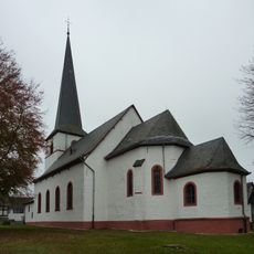
Saint John the Baptist Church (Dollendorf)
5 km
Burg Freilingen
5.3 km
St. Wendelinus
4.5 km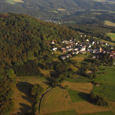
Aremberg
5.8 km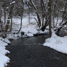
Ahbachtal
5.5 km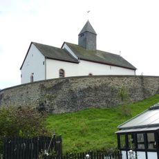
St. Hubertus
163 m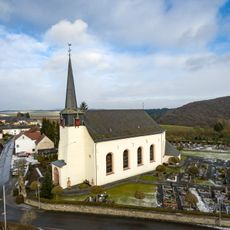
St. Martin
4.8 km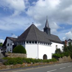
St. Katharina (Müsch)
4 km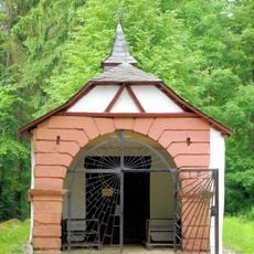
Schutzengelkapelle Aremberg
4.6 km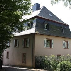
Burgmannenhaus (Aremberg)
5.4 km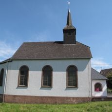
St. Nikolaus
5 km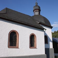
St. Joseph
3.9 km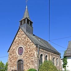
St. Rochus (Rodder)
6.2 km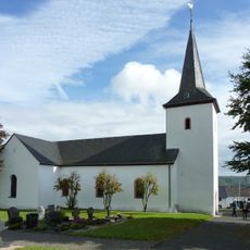
St Mariä Himmelfahrt
1.4 km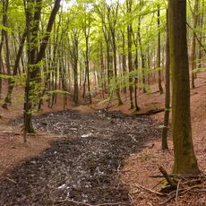
Obere Ahr mit Mülheimer Bach, Reetzer Bach und Mühlenbachsystem
5 km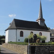
St. Barbara und Helena
5.1 km
Dollendorf train station
4 km
Ahrdorf train station
745 m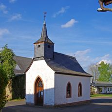
St. Rochus
6.4 km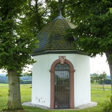
Jodokuskapelle
3.7 kmReviews
Visited this place? Tap the stars to rate it and share your experience / photos with the community! Try now! You can cancel it anytime.
Discover hidden gems everywhere you go!
From secret cafés to breathtaking viewpoints, skip the crowded tourist spots and find places that match your style. Our app makes it easy with voice search, smart filtering, route optimization, and insider tips from travelers worldwide. Download now for the complete mobile experience.

A unique approach to discovering new places❞
— Le Figaro
All the places worth exploring❞
— France Info
A tailor-made excursion in just a few clicks❞
— 20 Minutes