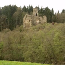
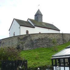
Ruine Dreimühlen, Medieval castle ruins in Kalkeifel, Germany.
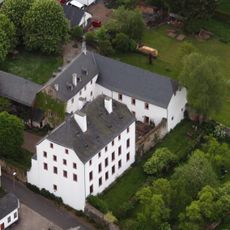
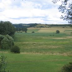
Ruine Dreimühlen is a medieval castle site situated at about 380 meters (1250 feet) elevation in the limestone region between Hohen Venn and Vulkaneifel. The remaining stone walls show the scale and layout of what was once a fortified residence in this protected natural valley.
The Lords of Dreimühlen first appear in written records in 1218 when Oda von Drimollen made a donation to Niederehe Monastery, establishing the family's documented presence in the region. The property changed hands repeatedly over the centuries until it was put up for demolition auction in 1807 after the territory fell under French control.
The ruins show how people in the Middle Ages built fortifications using limestone from their surroundings, and this choice of material shapes the appearance of the entire area. Walking among the stones, you can sense how medieval builders adapted their construction methods to the local landscape.
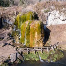
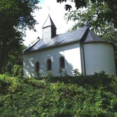
The site remains open to visitors year-round without restrictions and sits within a protected natural area that is visible from a distance. Sturdy footwear is recommended since the ground is uneven and parts of the ruins are overgrown with vegetation.
Despite centuries of abandonment, the fortress never completely vanished, with its stone remains staying visible to nearby villages over generations. The ruins today blend seamlessly with the landscape as vegetation has gradually reclaimed the walls, making it difficult to spot where the human structure ends and nature begins.
The community of curious travelers
AroundUs brings together thousands of curated places, local tips, and hidden gems, enriched daily by 60,000 contributors worldwide.