
Ralingen, municipality in Germany
Location: Trier-Land
Location: Trier-Saarburg
Elevation above the sea: 160 m
Shares border with: Rosport, Eisenach, Newel, Minden, Menningen, Trierweiler, Aach, Rosport-Mompach
Website: http://ralingen.de
GPS coordinates: 49.80833,6.51556
Latest update: April 3, 2025 10:29

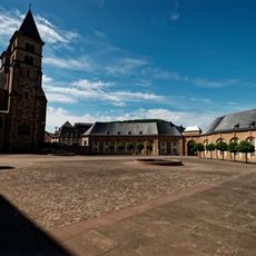
Abbey of Echternach
6.7 km
Rosport
2.8 km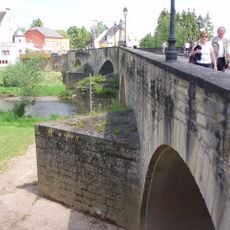
Old Echternach Bridge
6.4 km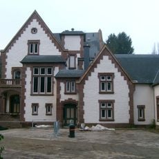
Tudor Museum
1.3 km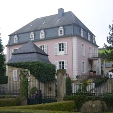
Born Castle
5.3 km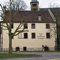
Prehistory Museum, Echternach
6.7 km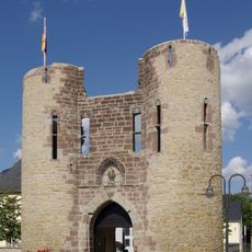
Welschbillig Castle
6.3 km
St. Ambrosius
6 km
Gillenbachtal
8 km
St. Dionysius
6 km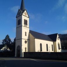
St. Martin
357 m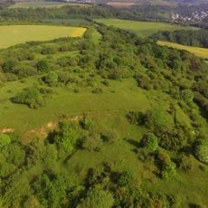
Kahlenberg am Sievenicherhof
6.7 km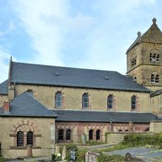
St. Jakobus der Ältere (Wintersdorf)
2.2 km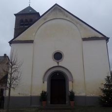
Saint Lambertus Church
2 km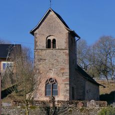
St. Abrunculus (Besslich)
6.2 km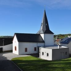
St. Johannes der Evangelist
7.6 km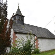
St. Antonius der Einsiedler
2.8 km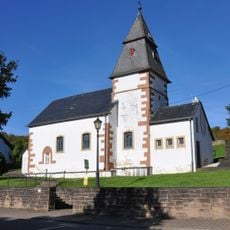
St.Clemens
2.8 km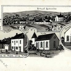
Synagoge
7.6 km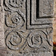
Römischer Grabstein
6.2 km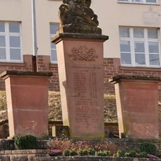
Kriegerdenkmal Aach
5.7 km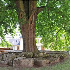
Käschtebam zu Iechternach
6.7 km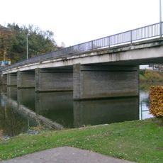
Bréck vu Rouspert
579 m
Synagoge Aach
5.8 km
Aach Vicarage
5.9 km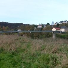
Fousgängerbréck Minden-Steenem
3.3 km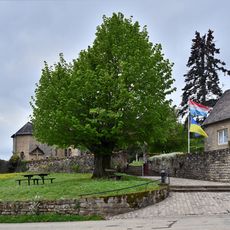
Lann op der Giischterklaus
2.9 km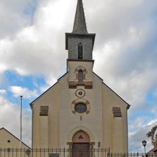
Église Sainte-Marie-Madeleine
4.2 kmVisited this place? Tap the stars to rate it and share your experience / photos with the community! Try now! You can cancel it anytime.
Discover hidden gems everywhere you go!
From secret cafés to breathtaking viewpoints, skip the crowded tourist spots and find places that match your style. Our app makes it easy with voice search, smart filtering, route optimization, and insider tips from travelers worldwide. Download now for the complete mobile experience.

A unique approach to discovering new places❞
— Le Figaro
All the places worth exploring❞
— France Info
A tailor-made excursion in just a few clicks❞
— 20 Minutes