Enable Location

We need your location to show you interesting places around you

Discover nearby places

Find interesting locations and hidden gems around you

Precise directions

Get accurate directions and distances to places

Your location is never shared with other users. It's only used when you tap the location button.

Log in to your account

Start exploring — it's free

Trusted by 62,870 travelers worldwide

Continue with Google
Continue with Apple
or

We will send you a code to connect

By continuing, you accept our Terms and Conditions and our Privacy Policy

Check your inbox

We've sent a pincode in your inbox. Please enter the code below.

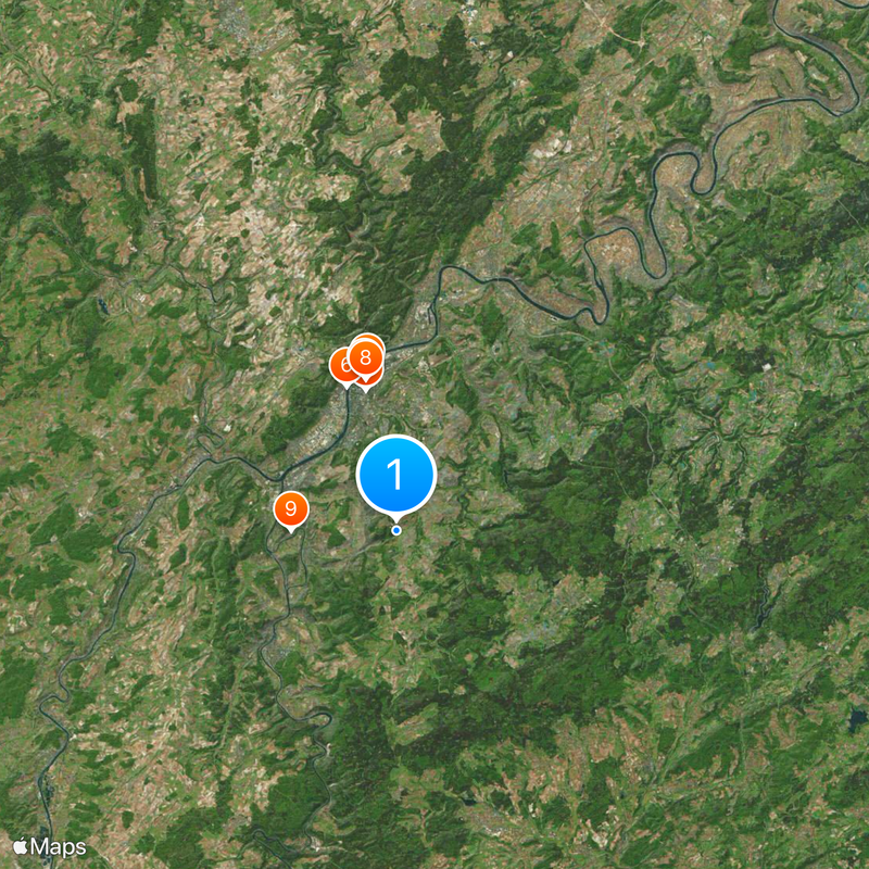
Trier-Saarburg, Rural district in Rhineland-Palatinate, Germany

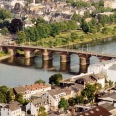
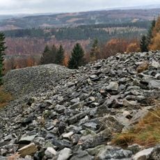
Trier-Saarburg is a rural district in Rhineland-Palatinate, Germany, extending along the Moselle River and characterized by vineyards, rolling hills, and multiple towns. The area sits between borders with Luxembourg and Saarland.

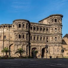
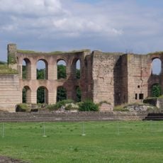
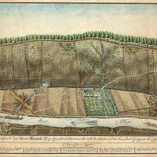
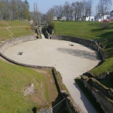
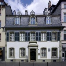
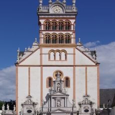
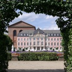
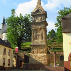
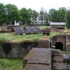
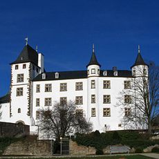
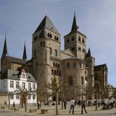
The district was created in 1969 through the merger of the former Trier and Saarburg districts. The region contains archaeological remains from Roman times, showing that this area has been inhabited since ancient times.

The area is deeply connected to wine production, with vineyards along the Moselle, Ruwer, and Saar rivers shaping the landscape and local varieties thriving there. Visitors see wineries and vineyard slopes everywhere, which shape daily life and the identity of people here.

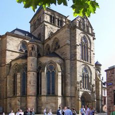
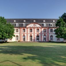
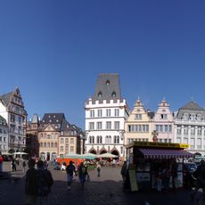
The area is managed by six collective municipalities, with the city of Trier serving as the administrative center. When exploring, visitors will find solid infrastructure with Trier as the main hub for services and information.

The area features gentle curves of the Moselle River winding through the landscape, creating famous steep slopes with striking viewpoints. This river landscape offers visitors some of the most exceptional perspectives on vineyards and river valleys in the entire region.

The community of curious travelers

AroundUs brings together thousands of curated places, local tips, and hidden gems, enriched daily by 60,000 contributors worldwide.

Start exploring
Capital city
Trier
Elevation above the sea
307 m
Shares border with
Luxembourg, Trier, Bernkastel-Wittlich, Birkenfeld, St. Wendel, Merzig-Wadern, Eifelkreis Bitburg-Prüm
GPS coordinates
49.67000,6.67000
Latest update
December 20, 2025 14:36
« Trier-Saarburg - Rural district in Rhineland-Palatinate, Germany » is provided by Around Us (aroundus.com). Images and texts are derived from Wikimedia project under a Creative Commons license. You are allowed to copy, distribute, and modify copies of this page, under the conditions set by the license, as long as this note is clearly visible.

Discover hidden gems everywhere you go!

From secret cafés to breathtaking viewpoints, skip the crowded tourist spots and find places that match your style. Our app makes it easy with voice search, smart filtering, route optimization, and insider tips from travelers worldwide. Download now for the complete mobile experience.

Around Us App Screenshot

A unique approach to discovering new places

Le Figaro

All the places worth exploring

France Info

A tailor-made excursion in just a few clicks

20 Minutes

Around Us
Travel Guide & Maps
Download

Send to your phone

QR Code
1

Open the camera app on your mobile.

2

Point at the QR code with your camera. A notification will appear.

3

Tap the notification to open the link.