Flechtingen, Administrative municipality in Börde, Germany
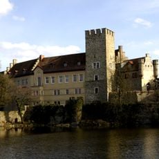
Flechtingen is an administrative municipality in Saxony-Anhalt that groups together seven smaller communities across a wide area. The main administrative office is located in Flechtingen, with additional service offices located elsewhere to serve the member communities.
The administrative structure was reorganized in 2010, introducing a new system that strengthened cooperation between the member communities. This change shaped how the region is managed today.
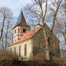
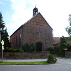
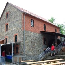
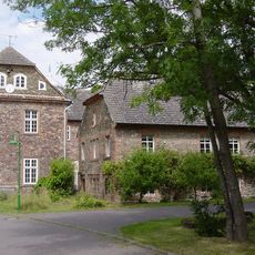
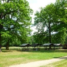
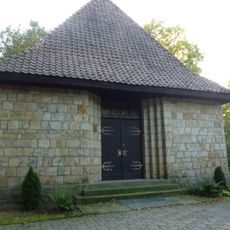
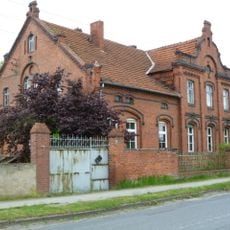
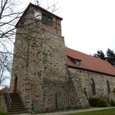
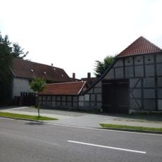
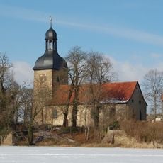
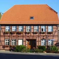
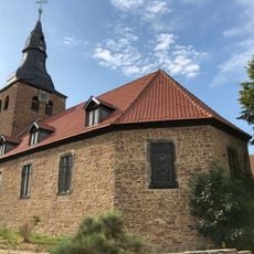
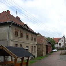
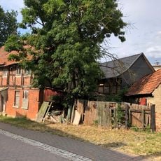
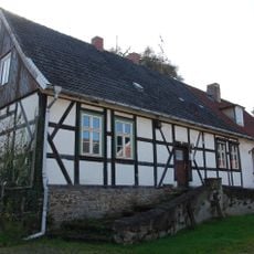
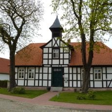
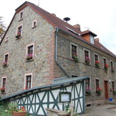
The member communities have their own local centers where residents gather regularly for club meetings, sports events, and town celebrations throughout the year. These gathering places form the backbone of social life in the region.
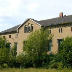
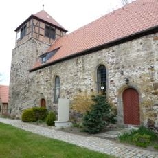
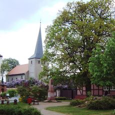
When visiting the region, travelers can explore the different village centers and discover each community's character since they maintain their own identities. A car is helpful for navigating between the communities and getting oriented in the area.
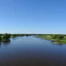
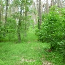
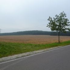
The area is shaped by three river systems - the Beber, Ohre, and Spetze - that influence the landscape and create different natural habitats. The Flechtinger Höhenzug hills form a distinctive feature of the terrain and define the visual character of the entire region.
The community of curious travelers
AroundUs brings together thousands of curated places, local tips, and hidden gems, enriched daily by 60,000 contributors worldwide.