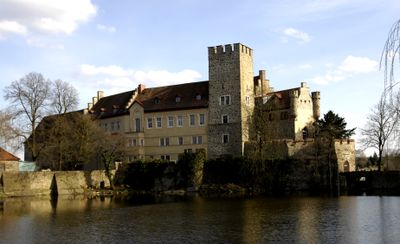
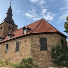
Wasserburg Flechtingen, Water castle in Flechtingen, Germany
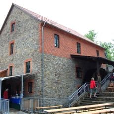
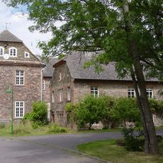
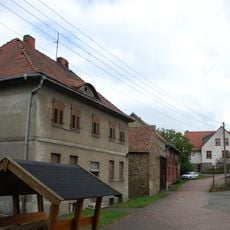
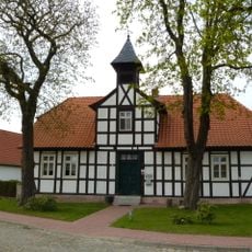
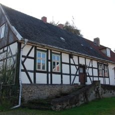
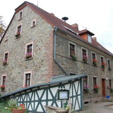
Wasserburg Flechtingen is a water castle in the village of Flechtingen, in northern Saxony-Anhalt, built on rocky ground amid flat terrain. The complex consists of a keep, defensive walls, and several buildings grouped around two courtyards, all surrounded by a water-filled moat.
The first written record of the castle dates to 1307, when Heinrich von Schenck received Flechtingen as a fief from the Margrave of Brandenburg-Salzwedel. Over the following centuries, the complex was expanded and adapted several times to suit changing needs.
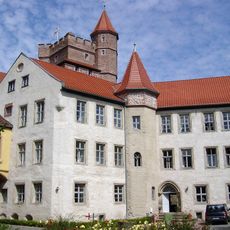
The castle shows Gothic wood carvings and decorative details on its facades, typical of medieval German castle construction in central Germany. Walking around the grounds, visitors can observe these elements on the preserved outer walls and gate passages up close.
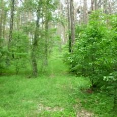
The castle interior is not open to the public, but the moat and surrounding park can be explored on foot. A walk along the perimeter gives the best view of the facades and defensive structures from the outside.
The inner courtyard has a triangular shape, which connects to the outer bailey through a single passage, an arrangement rarely seen in medieval castles of central Germany. This tight layout forced anyone moving through the fortress to follow a controlled path, slowing down any potential attacker.
The community of curious travelers
AroundUs brings together thousands of curated places, local tips, and hidden gems, enriched daily by 60,000 contributors worldwide.