Ameisenberg, Mountain summit in Olbersdorf, Germany.
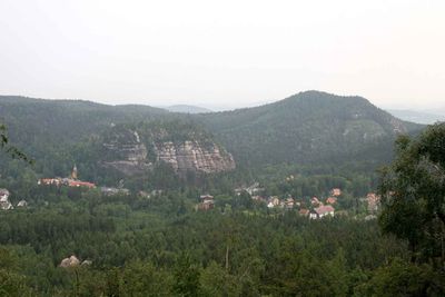
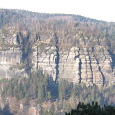
Ameisenberg rises to 575 meters elevation as a densely forested mountain with a distinctive conical shape, featuring steep eastern slopes that descend dramatically into the Oybin valley basin where the Töpfer river flows through deep terrain cuts.
The mountain served as a natural boundary along the historic Alte Leipaer Straße trade route, which connected Zittau with Ceska Lipa in Bohemia during medieval times, facilitating commerce between German and Czech territories through this strategic mountain pass.
Local legends speak of hidden caves and mysterious pathways that were once used by merchants and woodsmen, while the mountain's name possibly derives from observations of numerous ant colonies found throughout its forest floor ecosystem.
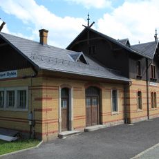
Multiple hiking trails lead to the summit from Olbersdorf, Oybin, and Hain, with the Teufelsmühle station on the Zittauer narrow-gauge railway serving as a convenient starting point for visitors planning mountain excursions and climbing activities.
The mountain experiences seasonal access restrictions from January through August to protect nesting bird species during breeding season, making it one of the few summits in the region with such comprehensive wildlife protection measures.
The community of curious travelers
AroundUs brings together thousands of curated places, local tips, and hidden gems, enriched daily by 60,000 contributors worldwide.