
Buxheim, municipality of Germany
Location: Eichstätt
Elevation above the sea: 395 m
Shares border with: Adelschlag, Eitensheim, Nassenfels, Ingolstadt
Website: http://buxheim.eu
GPS coordinates: 48.78333,11.30000
Latest update: March 3, 2025 09:43
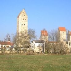
Nassenfels Castle
5.4 km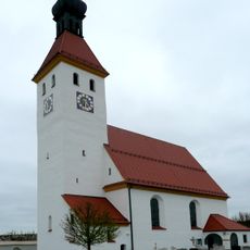
Wehrkirche Möckenlohe
6.9 km
St. Andreas
4.3 km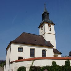
St. Quirinus
3.3 km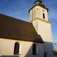
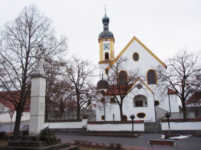
Mariä Geburt
1.4 km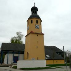
St. Andreas
8.5 km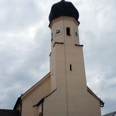
St. Andreas
2 km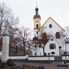
Katholische Pfarrkirche St. Michael
2.5 km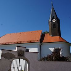
St. Georg und Leonhard
7.1 km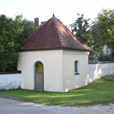
Kapelle
6.2 km
Katholische Filialkirche St. Martin (Tauberfeld)
4.8 km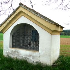
Kapellenbildstock
6.5 km
St. Nikolaus
5.1 km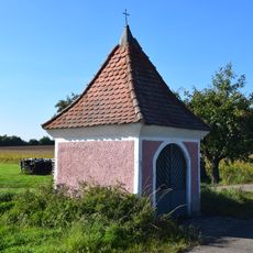
Wegkapelle
8.1 km
St. Martin
4.9 km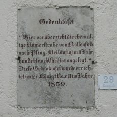
Gedenktafel zur Erinnerung an die Römerstraße
6.8 km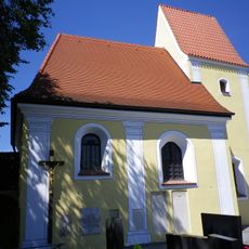
St. Peter und Paul
715 m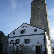
Bauernhaus
5.4 km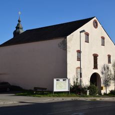
Große Scheune
5.5 km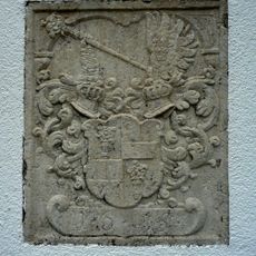
Wappenstein
6.9 km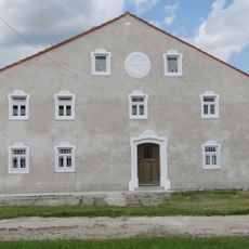
Unterhaidmühle
3.6 km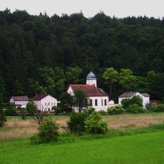
Mausohrkolonien in der südlichen Frankenalb
7.9 km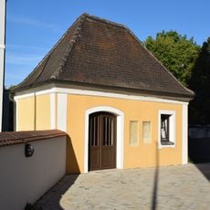
Friedhofskapelle Schloßstraße 1 in Nassenfels
5.5 km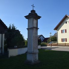
Bildstock
5.6 km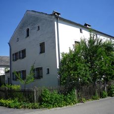
Pfarrhof
732 m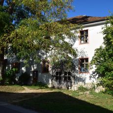
Ehemaliges Forsthaus
6.7 km
Ehemaliges Kleinbauernhaus
7 km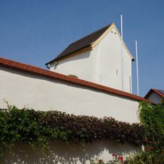
Friedhofsmauer Kirchstraße 14 in Nassenfels
3.3 kmVisited this place? Tap the stars to rate it and share your experience / photos with the community! Try now! You can cancel it anytime.
Discover hidden gems everywhere you go!
From secret cafés to breathtaking viewpoints, skip the crowded tourist spots and find places that match your style. Our app makes it easy with voice search, smart filtering, route optimization, and insider tips from travelers worldwide. Download now for the complete mobile experience.

A unique approach to discovering new places❞
— Le Figaro
All the places worth exploring❞
— France Info
A tailor-made excursion in just a few clicks❞
— 20 Minutes