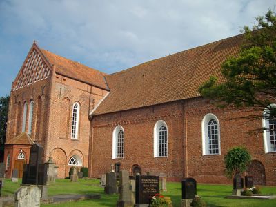
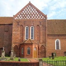
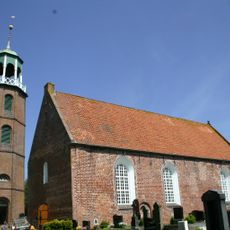
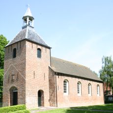
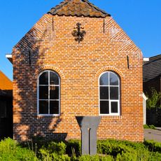
Bunde, municipality in East Friesland, Germany
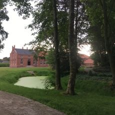
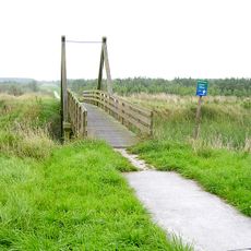
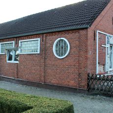
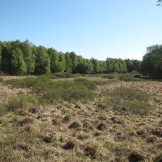
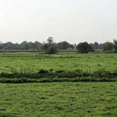
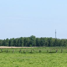
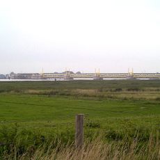
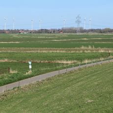
Bunde is a municipality in the Leer region of Lower Saxony near the Dutch border. The area features flat terrain with meadows, farmland, and waterways that characterize the landscape of this rural location.
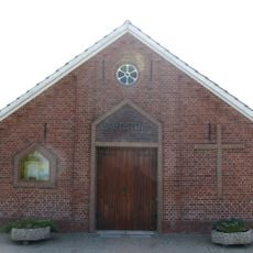
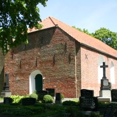
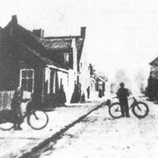
Bunde developed as an agricultural settlement in an area shaped by water management and dikes for centuries. Its proximity to the Dutch border has influenced regional development and connections throughout its history.
This is a quiet rural area with few major attractions or visitor centers, so visitors should come with realistic expectations about what to see. A car is helpful for exploring, though walking and cycling routes exist but are spread across the sparse landscape.
The community of curious travelers
AroundUs brings together thousands of curated places, local tips, and hidden gems, enriched daily by 60,000 contributors worldwide.