
Steinsfeld, municipality of Germany
Location: Ansbach
Elevation above the sea: 404 m
Part of: Verwaltungsgemeinschaft Rothenburg ob der Tauber
Website: https://steinsfeld.de
GPS coordinates: 49.41667,10.21667
Latest update: March 3, 2025 01:26
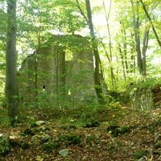
Burg Seldeneck
4.9 km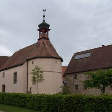
St. Konrad
2.6 km
Cultural heritage D-5-6527-0245 in Windelsbach
3.3 km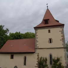
St. Kilian
5 km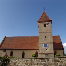
St. Ottilia
2.5 km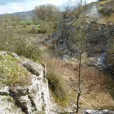
Gipsbruch Endsee
3.8 km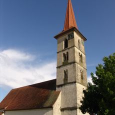
St. Maria
440 m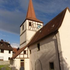
St. Georg
4.7 km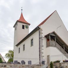
St. Nikolaus (Adelshofen)
4 km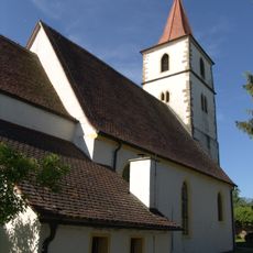
St. Maria
5.2 km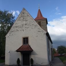
St. Michael
1.4 km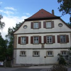
Evangelisch-lutherisches Pfarrhaus (Gattenhofen)
1.4 km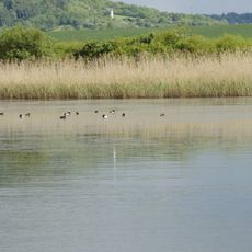
Vogelfreistätte Großer und Kleiner Lindleinsee
2 km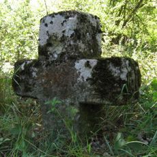
Steinkreuz bei Gattenhofen
2.3 km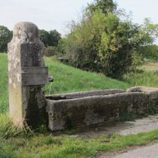
Stäffeleinsbrunnen
2.8 km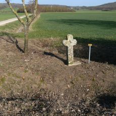
Steinkreuz bei Hartershofen
2.1 km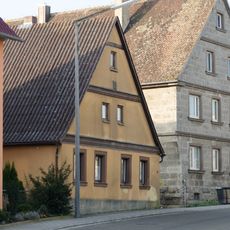
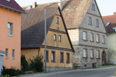
Dorfstraße 10
392 m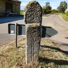
Bildstock Gattenhofen
1.6 km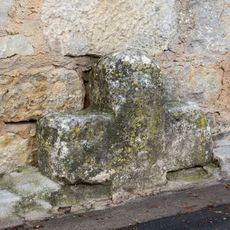
Steinkreuz in Bettwar
4.6 km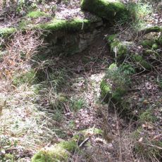
Cultural heritage D-5-6527-0207 in Steinsfeld
3.1 km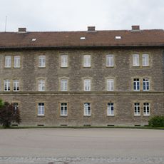
Former office building
5.9 km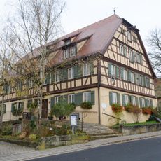
Am Dorfplatz 1
482 m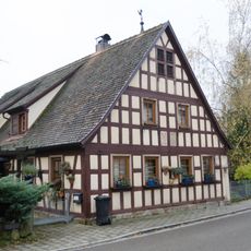
Dorfstraße 4
428 m
Endseer Berg
3 km
Taubertal in Mittelfranken
2.1 km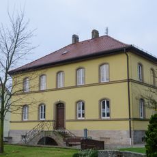
Am Dorfplatz 2
423 m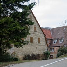
Weißenmühle
4.6 km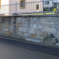
Friedhofsmauer St. Georg
4.6 kmVisited this place? Tap the stars to rate it and share your experience / photos with the community! Try now! You can cancel it anytime.
Discover hidden gems everywhere you go!
From secret cafés to breathtaking viewpoints, skip the crowded tourist spots and find places that match your style. Our app makes it easy with voice search, smart filtering, route optimization, and insider tips from travelers worldwide. Download now for the complete mobile experience.

A unique approach to discovering new places❞
— Le Figaro
All the places worth exploring❞
— France Info
A tailor-made excursion in just a few clicks❞
— 20 Minutes