
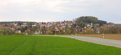
Heinersreuth, municipality in Landkreis Bayreuth in Germany
Location: Bayreuth
Elevation above the sea: 340 m
Website: http://heinersreuth.de
GPS coordinates: 49.96750,11.53250
Latest update: March 3, 2025 09:21

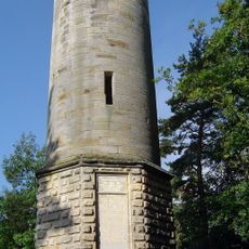
Victory Tower
3 km
Christoph 20
2.6 km
Hohe Warte
3 km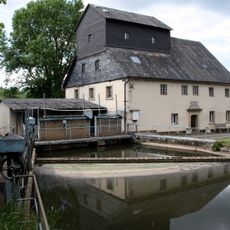
Wiesenmühle Unterkonnersreuth
1.3 km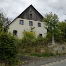
Wohnhaus
5.6 km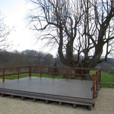
Baudenkmal
5.7 km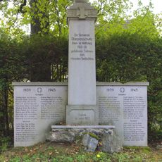
Kriegerdenkmal
2.5 km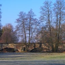
Brücke
5.6 km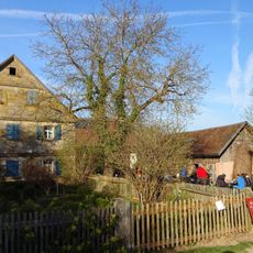
Cultural heritage D-4-72-119-28 in Bindlach
2.7 km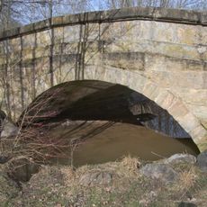
Bogenbrücke
1.6 km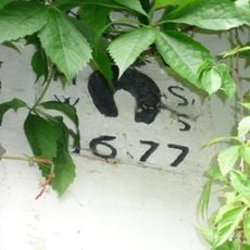
Baudenkmal
5.6 km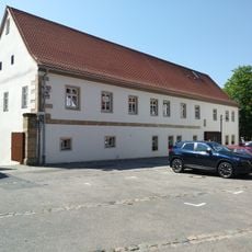
Nebengebäude
5.7 km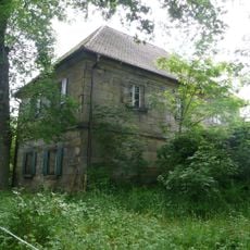
Cultural heritage D-4-77-142-21 in Neudrossenfeld
5.6 km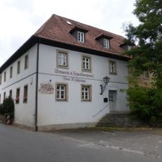
Gasthaus
5.6 km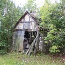
Backhaus
5.6 km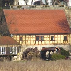
Mühle
5.7 km
Schloss
5.7 km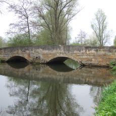
Bogenbrücke
454 m
Brauerei
5.7 km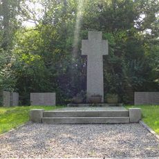
Kriegerdenkmal
59 m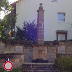
Kriegerdenkmal
195 m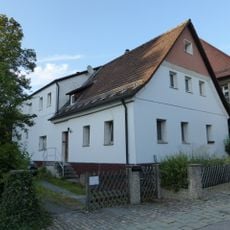
Bauernhaus
5.8 km
Gasthaus
95 m
Schloss
2.7 km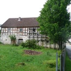
Bauernhaus
5.6 km
Cultural heritage D-4-77-142-9 in Neudrossenfeld
5.7 km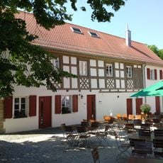
Stall Marktplatz 2b in Neudrossenfeld
5.7 km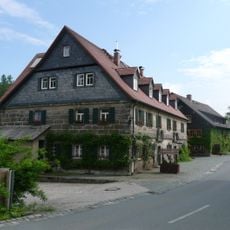
Ehemalige Mühle
5.6 kmVisited this place? Tap the stars to rate it and share your experience / photos with the community! Try now! You can cancel it anytime.
Discover hidden gems everywhere you go!
From secret cafés to breathtaking viewpoints, skip the crowded tourist spots and find places that match your style. Our app makes it easy with voice search, smart filtering, route optimization, and insider tips from travelers worldwide. Download now for the complete mobile experience.

A unique approach to discovering new places❞
— Le Figaro
All the places worth exploring❞
— France Info
A tailor-made excursion in just a few clicks❞
— 20 Minutes