
Oberottmarshausen, municipality of Germany
Location: Augsburg
Elevation above the sea: 534 m
Part of: Verwaltungsgemeinschaft Großaitingen
Website: http://oberottmarshausen.de
GPS coordinates: 48.23333,10.85000
Latest update: March 27, 2025 03:51
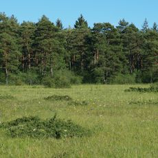
Königsbrunner Heide
6.1 km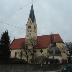
St. Felizitas
4.2 km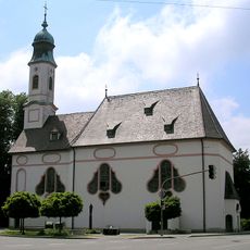
Wallfahrtskirche zu Unserer Lieben Frau
3.8 km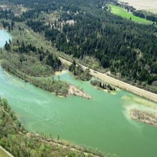
Lechstaustufe 21 – Prittriching
4.8 km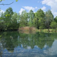
Lechauwald bei Unterbergen
5.4 km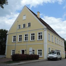
Unteres Schlösschen
4.8 km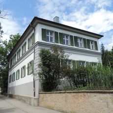
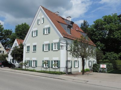
Rectory (Kleinaitingen)
1.7 km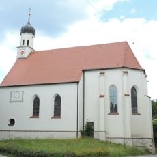
St. Wolfgang und Wendelin
4.9 km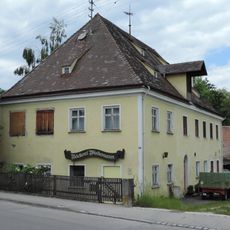
Poststraße 22
4.1 km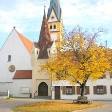
Unsere Liebe Frau
6.8 km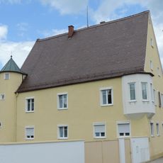
Mittleres Schlösschen
4.5 km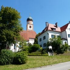
Pfarrhaus
7.3 km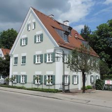
Rectory
882 m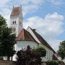
St. Vitus
688 m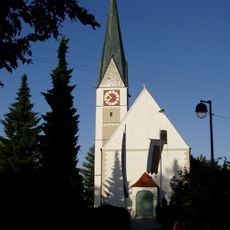
St. Ulrich und Afra
5.3 km
St. Georg
3.8 km
St. Martin
1.6 km
St. Johannes
4.5 km
Katholische Pfarrkirche St. Peter und Paul
7.2 km
Katholische Stadtpfarrkirche St. Ulrich
5.3 km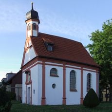
Katholische Kapelle St. Johann von Nepomuk
3.3 km
Katholische Kapelle St. Wolfgang
4.9 km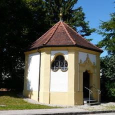
Katholische Kapelle St. Jakob
6.9 km
Ehemaliges Gasthaus Neuhaus
3.3 km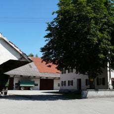
Haustür
6.8 km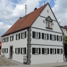
Bauernhaus
4 km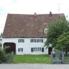
Bauernhaus
4.8 km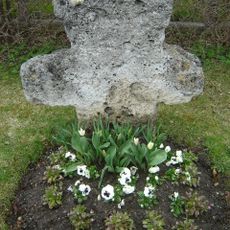
Steinkreuz
4.7 kmVisited this place? Tap the stars to rate it and share your experience / photos with the community! Try now! You can cancel it anytime.
Discover hidden gems everywhere you go!
From secret cafés to breathtaking viewpoints, skip the crowded tourist spots and find places that match your style. Our app makes it easy with voice search, smart filtering, route optimization, and insider tips from travelers worldwide. Download now for the complete mobile experience.

A unique approach to discovering new places❞
— Le Figaro
All the places worth exploring❞
— France Info
A tailor-made excursion in just a few clicks❞
— 20 Minutes