
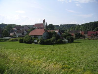
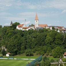
Illschwang, municipality in Landkreis Amberg-Sulzbach in Germany
Location: Amberg-Sulzbach
Elevation above the sea: 488 m
Part of: Verwaltungsgemeinschaft Illschwang
Website: http://illschwang.de
GPS coordinates: 49.45000,11.68333
Latest update: March 19, 2025 15:02
Burg Ammerthal
5.6 km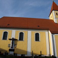
Fortified Church Illschwang
192 m
Abschnittsbefestigung Kalmusfels
1.2 km
Abschnittsbefestigung Kuhfels
4.3 km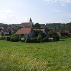
Propstei Illschwang
177 m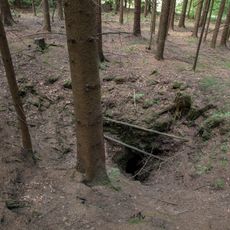
Peterloch
3.5 km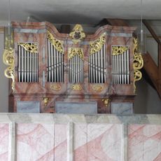
Simultankirche St. Margareta
4 km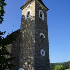
Herz Mariä
4.1 km
Landschaftsstreifen entlang der B 85
5.6 km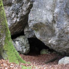
Trockental oberhalb Ammerthal mit Hainsburg
3.6 km
Breitenbrunner Tal
6.2 km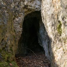
Cultural heritage D-3-6536-0043 in Illschwang
1.2 km
Osterloch (E8) SE von Illschwang
1.6 km
Cultural heritage D-3-6536-0040 in Illschwang
1.6 km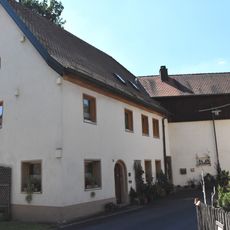
Wohnhaus, ehemals zur Stadtmühle gehörig,
7.1 km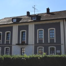
Ehemaliges Bürgermeisterhaus, Arbeitsamt
7.2 km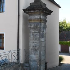
Ehemals zum Hofgarten gehöriges Gebäude
7.3 km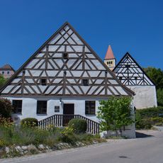
Ehemalige Schmiede
275 m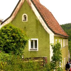
Wohnhaus
203 m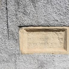
Sandsteintafel mit Bauinschrift und Wappenrelief
7.1 km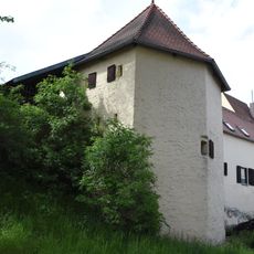
Turm der ehemaligen Stadtbefestigung
7.2 km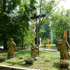
Kreuzigungsgruppe (Sulzbach-Rosenberg)
6.8 km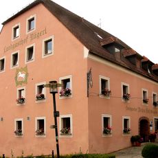
Gasthof Weißes Roß
252 m
Ehemaliges städtisches Elektrizitätswerk
7.1 km
Ehemaliges Brau- und Malzhaus
7.3 km
Wohnhaus, ehemals zur Stadtmühle gehörig
7.1 km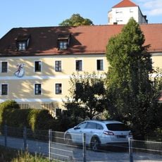
Winkelbau, ehemaliges Nebengebäude der Stadtmühle
7.1 km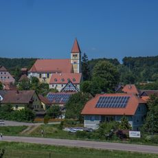
Ensemble Kirchberg Illschwang
208 mReviews
Visited this place? Tap the stars to rate it and share your experience / photos with the community! Try now! You can cancel it anytime.
Discover hidden gems everywhere you go!
From secret cafés to breathtaking viewpoints, skip the crowded tourist spots and find places that match your style. Our app makes it easy with voice search, smart filtering, route optimization, and insider tips from travelers worldwide. Download now for the complete mobile experience.

A unique approach to discovering new places❞
— Le Figaro
All the places worth exploring❞
— France Info
A tailor-made excursion in just a few clicks❞
— 20 Minutes