
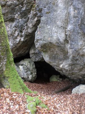
Trockental oberhalb Ammerthal mit Hainsburg, protected landscape in Bavaria, Germany
Location: Amberg-Sulzbach
Inception: 1970
GPS coordinates: 49.45508,11.73243
Latest update: March 10, 2025 04:42
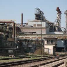
Maxhütte
4.3 km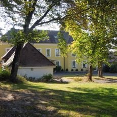
Ehemaliges Schlösschen Franziskaruhe, später Werkskasino der Maxhütte
4.7 km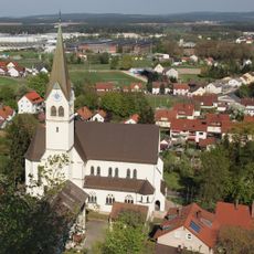
Herz-Jesu-Kirche
4.8 km
Burgstall Rosenberg
4.7 km
Burg Ammerthal
2.5 km
Fortified Church Illschwang
3.5 km
Kriegerdenkmal für die Gefallenen des Ersten Weltkriegs
4.7 km
Abschnittsbefestigung Kalmusfels
3 km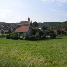
Propstei Illschwang
3.4 km
St. Johannes Baptist
4.7 km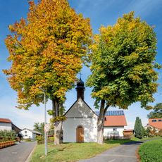
Dorfkapelle Herz-Jesu
4.5 km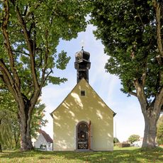
Hofkapelle St. Anna Selbdritt
4.4 km
Landschaftsstreifen entlang der B 85
3.7 km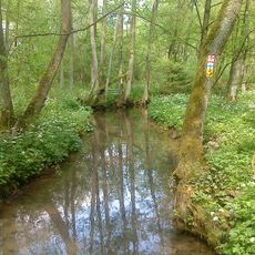
Breitenbrunner Tal
3.5 km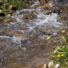
Ammerthal
2.8 km
Cultural heritage D-3-6536-0040 in Illschwang
2.9 km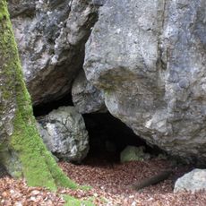
Osterloch (E8) SE von Illschwang
2.8 km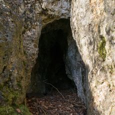
Cultural heritage D-3-6536-0043 in Illschwang
2.6 km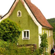
Wohnhaus
3.6 km
Gasthaus und ehemalige Posthalterei
3.3 km
Ehemalige Schmiede
3.5 km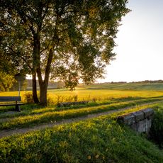
Sogenanntes Bayerisches Brückl
4 km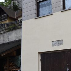
Ehemaliges Wohnhaus des Rosenberger Hofmarkherren Johann Georg Korb
4.6 km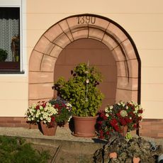
Rundbogenportal
3.3 km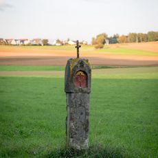
Steinmarterl
4.1 km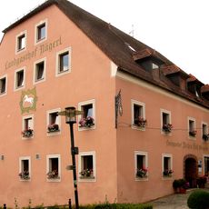
Gasthof Weißes Roß
3.6 km
Rundturm
4.8 km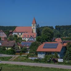
Ensemble Kirchberg Illschwang
3.5 kmVisited this place? Tap the stars to rate it and share your experience / photos with the community! Try now! You can cancel it anytime.
Discover hidden gems everywhere you go!
From secret cafés to breathtaking viewpoints, skip the crowded tourist spots and find places that match your style. Our app makes it easy with voice search, smart filtering, route optimization, and insider tips from travelers worldwide. Download now for the complete mobile experience.

A unique approach to discovering new places❞
— Le Figaro
All the places worth exploring❞
— France Info
A tailor-made excursion in just a few clicks❞
— 20 Minutes