
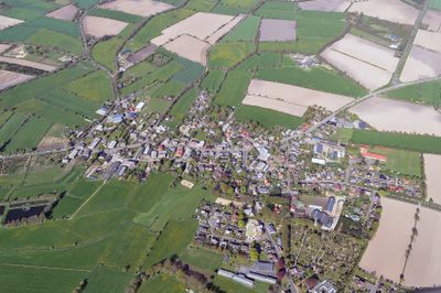
Süderhastedt, municipality of Germany
Location: Dithmarschen
Elevation above the sea: 11 m
Website: http://suederhastedt.de
GPS coordinates: 54.05000,9.21667
Latest update: March 4, 2025 03:54
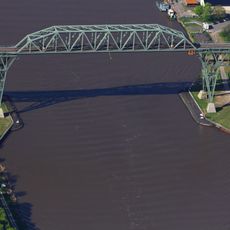
Hochdonn High Bridge
6.5 km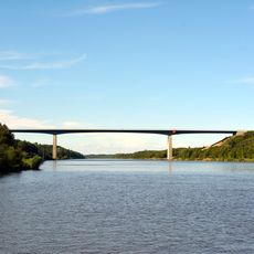
Autobahnhochbrücke Hohenhörn
6.7 km
St. Petri-Kirche
6.8 km
Ditmarsium
6.7 km
Windmühle Aurora Hochdonn
6.6 km
Windmühle „Edda“
9.1 km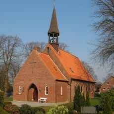
Church of the Holy Cross
6.6 km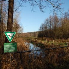
Ehemaliger Fuhlensee
9.4 km
St. Laurentius
634 m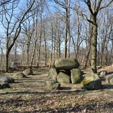
Großsteingrab Dellbrück
6 km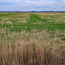
Ehemaliger Fuhlensee
9.3 km
Stolperstein dedicated to Gerhard Kratzat
6.9 km
Wodansberg
5.2 km
DITMARSIUM Burger Apotheken-, Gewerbe-&Schifffahrtsmuseum
6.7 km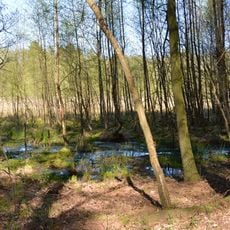
Elendsmoor bei Schafstedt
8.3 km
Papenknüll
5.4 km
Bahnhofsgebäude
5.2 km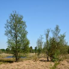
Landschaftliches Hochmoor
4 km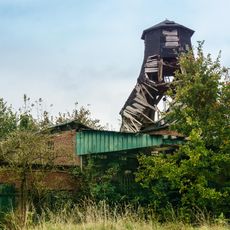
Windmühle „Anna“
3.5 km
Klev von St. Michaelisdonn bis Burg
8.4 km
Jägersburger Heide
9 km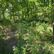
Schanze bei Dellbrück
6.5 km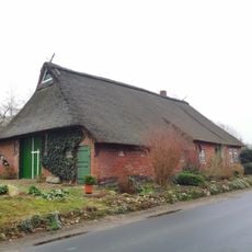
Fachhallenhaus
3.2 km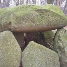
Dellbrücker Kammer
6.1 km
Stolperstein dedicated to Willi Max Beenke
6.7 km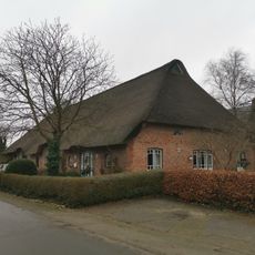
Schulstraße 1
3.2 km
Schulstraße 8
608 m
Alter Friedhof: Torkapelle
6.7 kmReviews
Visited this place? Tap the stars to rate it and share your experience / photos with the community! Try now! You can cancel it anytime.
Discover hidden gems everywhere you go!
From secret cafés to breathtaking viewpoints, skip the crowded tourist spots and find places that match your style. Our app makes it easy with voice search, smart filtering, route optimization, and insider tips from travelers worldwide. Download now for the complete mobile experience.

A unique approach to discovering new places❞
— Le Figaro
All the places worth exploring❞
— France Info
A tailor-made excursion in just a few clicks❞
— 20 Minutes