
Wörnitz, municipality of Germany
Location: Ansbach
Elevation above the sea: 466 m
Part of: Verwaltungsgemeinschaft Schillingsfürst
Website: http://woernitz.de
GPS coordinates: 49.25000,10.25000
Latest update: March 5, 2025 14:07

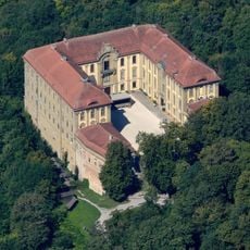
Schloss Schillingsfürst
4.1 km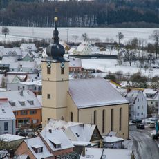
St. Kilian
4.2 km
St. Peter und Paul
6.8 km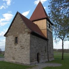
St. Kilian
4.2 km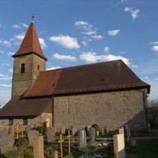
St. Jakobus
4.6 km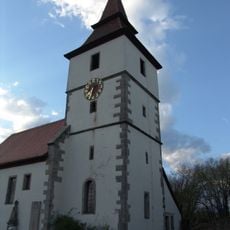
St. Veit
2.8 km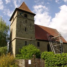
St. Alban
4.9 km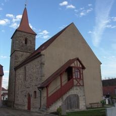
Burg Breitenau
4.6 km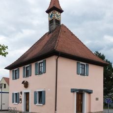
City hall
2.6 km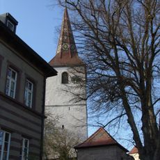
St. Georg
6.3 km
Rathaus Wettringen
6.8 km
Pfarrhaus Wettringen (Mittelfranken)
6.8 km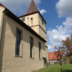
St. Gallus
3.4 km
St. Stephan
4.6 km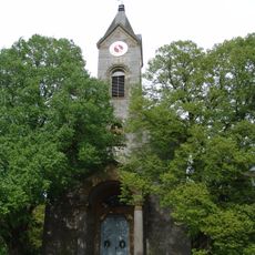
St. Vitus
5.3 km
St. Martin
671 m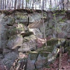
Hangrutsch von Obergailnau
4.8 km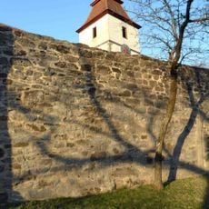
Churchyard wall
2.8 km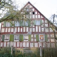
Schulstraße 6
6.8 km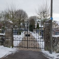
Alter Friedhof
3.8 km
Evangelisch-lutherisches Pfarrhaus
4.2 km
Wappenrelief
3.5 km
Ehemaliges Schulhaus
5.2 km
Wohnstallhaus
722 m
Ehemaliges Schulhaus
6.3 km
Am Markt 8
4.1 km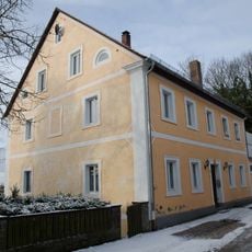
Ehemalige Hofbäckerei
4.5 km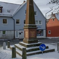
Kriegerdenkmal, Denkmal für die im deutsch-französischen Krieg 1870/71 gefallenen Gemeindemitglieder
4.3 kmReviews
Visited this place? Tap the stars to rate it and share your experience / photos with the community! Try now! You can cancel it anytime.
Discover hidden gems everywhere you go!
From secret cafés to breathtaking viewpoints, skip the crowded tourist spots and find places that match your style. Our app makes it easy with voice search, smart filtering, route optimization, and insider tips from travelers worldwide. Download now for the complete mobile experience.

A unique approach to discovering new places❞
— Le Figaro
All the places worth exploring❞
— France Info
A tailor-made excursion in just a few clicks❞
— 20 Minutes