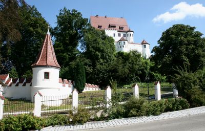
Leipheim, municipality of Germany
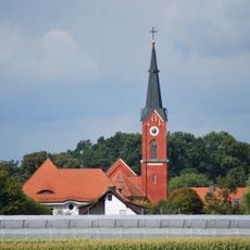
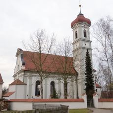
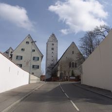
Leipheim is a small town in Bavaria located on the Danube River, about five kilometers west of Günzburg. The town is divided into districts including Riedheim and Weissingen and has around seven thousand four hundred residents.
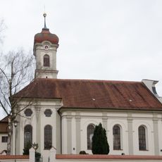
Leipheim received market rights from the Güß von Güssenberg family in the Middle Ages and became Protestant in the mid-1500s. In the early 1800s, it became part of Bavaria after the Mediatisation, and a railway line later connected it to other regions.
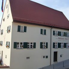
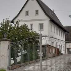
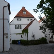
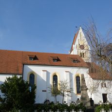
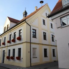
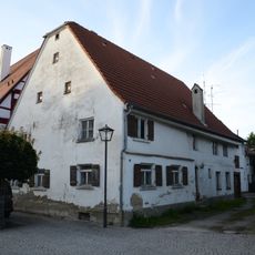
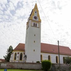
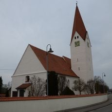
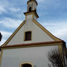
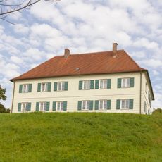
The name Leipheim comes from the Güß von Güssenberg family, who shaped the area long ago. Today you can see traditional buildings throughout the town, and residents keep Bavarian customs alive through local gatherings and traditions.
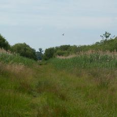
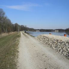
The town is easily reached by bus or car, and there are quiet paths for walking along the Danube. Visitors can navigate the manageable size of the place without difficulty.
During World War II, an airfield here launched the Messerschmitt Me 262, the world's first jet fighter. After the war, the site housed survivors of the Holocaust.
The community of curious travelers
AroundUs brings together thousands of curated places, local tips, and hidden gems, enriched daily by 60,000 contributors worldwide.