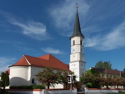
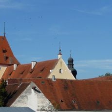
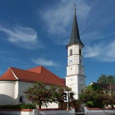
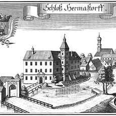
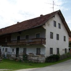
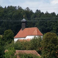
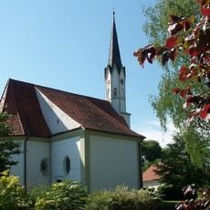
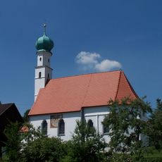
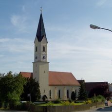
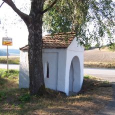
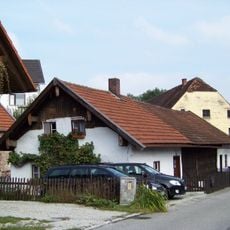
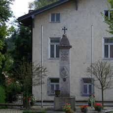
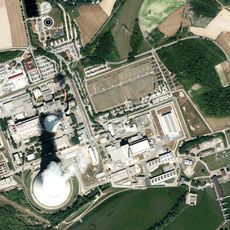
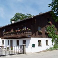
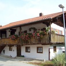
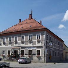
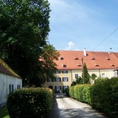
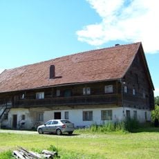
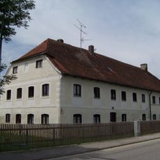
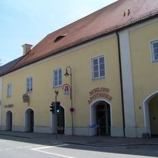
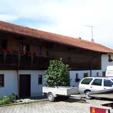
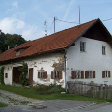
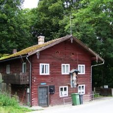
Wörth an der Isar, municipality of Germany
Location: Landshut
Elevation above the sea: 369 m
Part of: Verwaltungsgemeinschaft Wörth an der Isar
Shares border with: Niederviehbach, Postau, Niederaichbach
Website: http://woerth-isar.de
GPS coordinates: 48.62300,12.33944
Latest update: March 3, 2025 06:19
Schloss Niederaichbach
3 km
St. Laurentius (Wörth)
236 m
Cultural heritage D-2-7340-0236 in Weng (Isar)
3.8 km
Dorfstraße 5
3.8 km
Katholische Filialkirche St. Johannes und Paulus
3.7 km
Katholische Kirche Nikolaus von Myra
2.9 km
St. Barbara
3.9 km
Mariä Himmelfahrt (Postau)
3 km
Moosberg Filialkirche St. Leonhard
4.2 km
St.-Andreas-Kirche
3 km
Pfarrkirche Jakobus der Ältere
2.1 km
Postau Wegkapelle abgebrochen
2.9 km
Kapellenbildstock
3.5 km
Kleinbauernhaus
2.7 km
Kriegerdenkmal
3.2 km
Isar switching station
3.6 km
Wohnstallhaus
377 m
Kleinhandwerkerhaus
2.8 km
Ehem. Augustinerinnen-Kloster
3.2 km
Postgasthof
36 m
Ehemaliges Schloss
92 m
Wohnstallhaus
887 m
Bildstock
3.9 km
Wohnstallhaus
211 m
Ehemalige Schlossbrauerei
88 m
Einfirsthof
353 m
Bauernhaus
2.8 km
Wohnhaus
2.7 kmReviews
Visited this place? Tap the stars to rate it and share your experience / photos with the community! Try now! You can cancel it anytime.
Discover hidden gems everywhere you go!
From secret cafés to breathtaking viewpoints, skip the crowded tourist spots and find places that match your style. Our app makes it easy with voice search, smart filtering, route optimization, and insider tips from travelers worldwide. Download now for the complete mobile experience.
A unique approach to discovering new places❞
— Le Figaro
All the places worth exploring❞
— France Info
A tailor-made excursion in just a few clicks❞
— 20 Minutes