Enable Location

We need your location to show you interesting places around you

Discover nearby places

Find interesting locations and hidden gems around you

Precise directions

Get accurate directions and distances to places

Your location is never shared with other users. It's only used when you tap the location button.

Heldrungen

Log in to your account

Start exploring — it's free

Trusted by 62,849 travelers worldwide

Continue with Google
Continue with Apple
or

We will send you a code to connect

By continuing, you accept our Terms and Conditions and our Privacy Policy

Check your inbox

We've sent a pincode in your inbox. Please enter the code below.

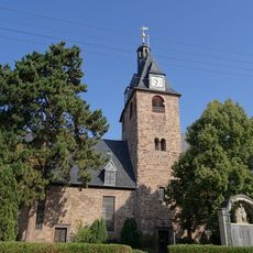
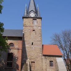
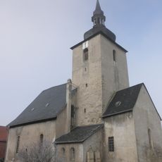
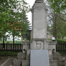
Heldrungen, Administrative district in Thuringia, Germany.

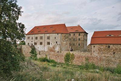
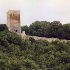
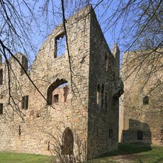
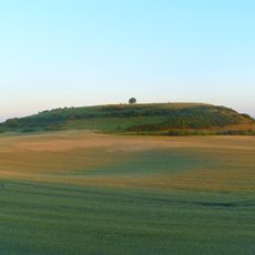
Heldrungen is an administrative district in Thuringia situated at approximately 128 meters elevation with a Renaissance castle surrounded by water ditches, bastions, and five defensive rondel structures. The fortification layout displays the typical design of defensive complexes from that era.

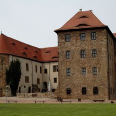
The Renaissance castle was built between 1512 and 1518 and formed the central hub of the entire fortification complex. It became a key position within the regional defense strategy of its era.

The community preserves local traditions through seasonal markets and village festivals where regional food specialties take center stage. These gatherings shape how residents connect with one another and define the character of the place.

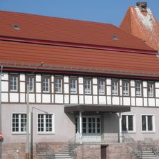
The district is accessible via road networks and public transportation with accommodation available in the castle complex. The castle now operates as a youth hostel and serves as a natural hub for visitors exploring the region.

The fortification system features two parallel water ditches and Vauban-style bastions reflecting different phases of military engineering. This layered construction reveals how defensive technologies evolved across several decades.

The community of curious travelers

AroundUs brings together thousands of curated places, local tips, and hidden gems, enriched daily by 60,000 contributors worldwide.

Start exploring
Location
Elevation above the sea
128 m
GPS coordinates
51.30139,11.21667
Latest update
December 10, 2025 15:53
« Heldrungen - Administrative district in Thuringia, Germany » is provided by Around Us (aroundus.com). Images and texts are derived from Wikimedia project under a Creative Commons license. You are allowed to copy, distribute, and modify copies of this page, under the conditions set by the license, as long as this note is clearly visible.

Discover hidden gems everywhere you go!

From secret cafés to breathtaking viewpoints, skip the crowded tourist spots and find places that match your style. Our app makes it easy with voice search, smart filtering, route optimization, and insider tips from travelers worldwide. Download now for the complete mobile experience.

Around Us App Screenshot

A unique approach to discovering new places

Le Figaro

All the places worth exploring

France Info

A tailor-made excursion in just a few clicks

20 Minutes

Around Us
Travel Guide & Maps
Download

Send to your phone

QR Code
1

Open the camera app on your mobile.

2

Point at the QR code with your camera. A notification will appear.

3

Tap the notification to open the link.