
Unterschneidheim, municipality in Germany
Location: Ostalbkreis
Location: Tannhausen GVV
Elevation above the sea: 487 m
Website: http://unterschneidheim.de
GPS coordinates: 48.94167,10.36556
Latest update: March 3, 2025 11:42
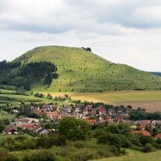
Ipf
8 km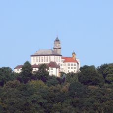
Baldern Castle
5.6 km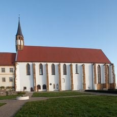
Mariä Himmelfahrt
7.6 km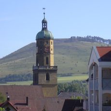
St. Blasius
9.5 km
Impaktgesteine Wengenhausen
7.7 km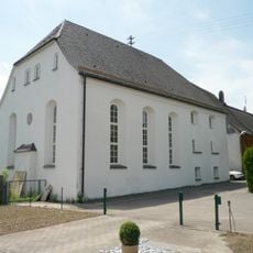
Synagoge Oberdorf
8.5 km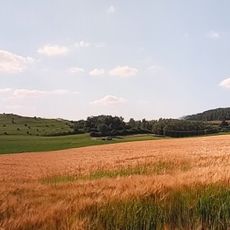
Tonnenberg, Käsbühl, Karkstein
8.3 km
Wallfahrtskapelle Jagstheim
5.9 km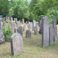
Jüdischer Friedhof
8.4 km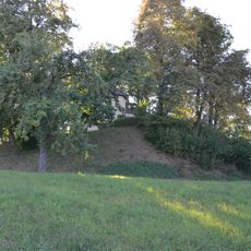
Burg Nordhausen
1 km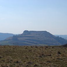
Blasienberg
7.6 km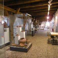
Museum im Seelhaus
9.3 km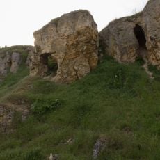
Goldberg
9.7 km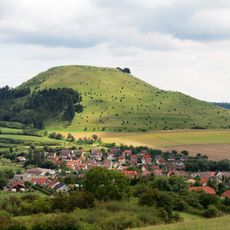
Ipf mit Blasenberg und Reimersbergle
8.1 km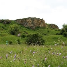
Westlicher Riesrand
9.2 km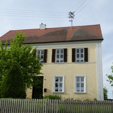
Rectory
7.2 km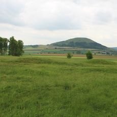
Meisterstaller Heide
6.3 km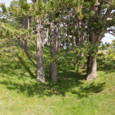
Ipf
8 km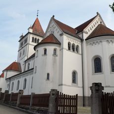
St. Gallus
7.6 km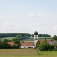
Katholische Pfarrkirche St. Michael
8.1 km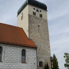
St. Maria
7.8 km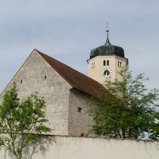
St. Laurentius
7.1 km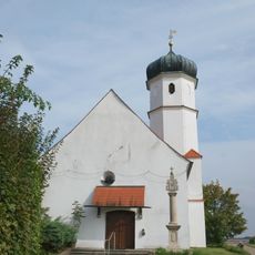
St. Leonhard
7.4 km
Schloß Baldern
5.8 km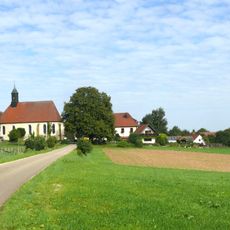
1 Linde in Jagstheim
5.9 km
Pfarrkirche St. Nikolaus
8.2 km
Gehölzbestand um die Ölbergkapelle
997 m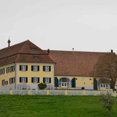
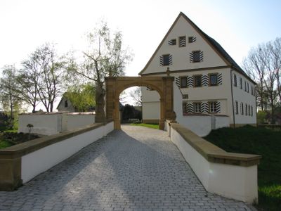
Ehemaliger Gutshof und fürstliches Forstamt
7.6 kmVisited this place? Tap the stars to rate it and share your experience / photos with the community! Try now! You can cancel it anytime.
Discover hidden gems everywhere you go!
From secret cafés to breathtaking viewpoints, skip the crowded tourist spots and find places that match your style. Our app makes it easy with voice search, smart filtering, route optimization, and insider tips from travelers worldwide. Download now for the complete mobile experience.

A unique approach to discovering new places❞
— Le Figaro
All the places worth exploring❞
— France Info
A tailor-made excursion in just a few clicks❞
— 20 Minutes