
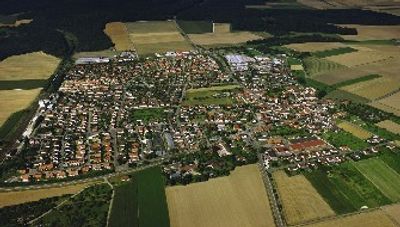
Beimerstetten, municipality in Baden-Württemberg, Germany
Location: Alb-Donau-Kreis
Location: Dornstadt VVG
Elevation above the sea: 587 m
Website: http://www.beimerstetten.de/
Shares border with: Langenau, Dornstadt
Website: http://beimerstetten.de
GPS coordinates: 48.48417,9.98111
Latest update: March 7, 2025 00:38
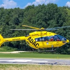
Christoph 22
6.9 km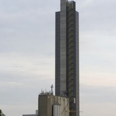
Schapfen Mill Tower
5.8 km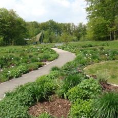
Botanischer Garten der Universität Ulm
7.3 km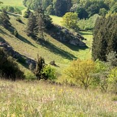
Laushalde
3.9 km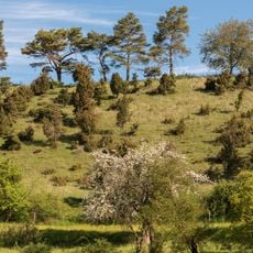
Ägenberg-Ofenloch
2.8 km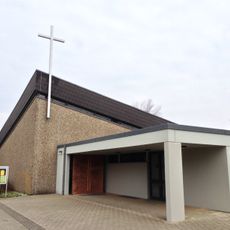
Allerheiligenkirche Lehr
5.8 km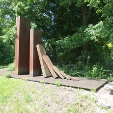
Deserters monument in Ulm
7.2 km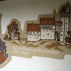
Burg Westerstetten
3.1 km
Burg Salzbühl
5.5 km
Breitinger Schönrain
3.6 km
Burg Ufenloch
2.8 km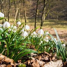
Ofenloch - Hagener Tobel
2.1 km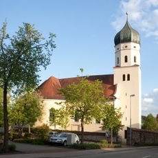
St. Martin
4.4 km
Stillgewässer im Gewann Dullisbrunnen
6.8 km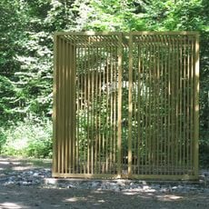
Golden Cage
6.8 km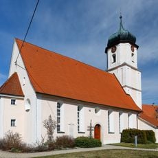
Michaelskirche Luizhausen
7.2 km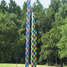
Drei Bildsäulen
7.2 km
Westerstetten
4.4 km
Lehr
6.9 km
Laushalde
3.9 km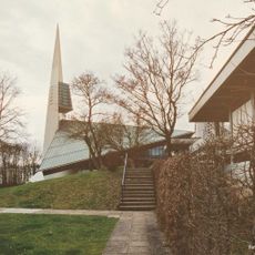
Evangelische Auferstehungskirche Ulm-Böfingen
6.7 km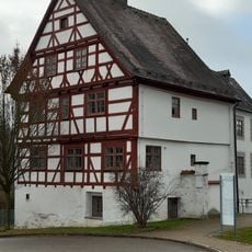
Schlössle Böfingen
7 km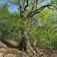
Linde in den Gewannen Schildwache und Spitalholz
6.4 km
Halbtrockenrasen in den Gewannen Schildwache und Spitalholz
6.6 km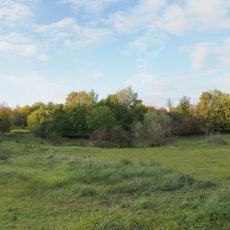
Halbtrockenrasen in den Gewannen Am Grünen Graben, Beim Buchbrunnen und Buchbrunnen
6.8 km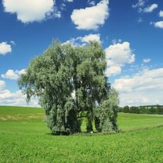
Quellsumpf Kesselbronn 5
5.5 km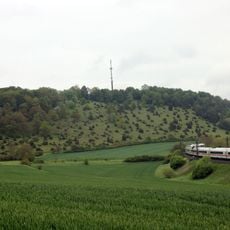
Kuppenalb bei Laichingen und Lonetal
7.1 km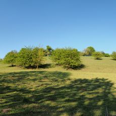
Halbtrockenrasen Örlingen 9
6.1 kmReviews
Visited this place? Tap the stars to rate it and share your experience / photos with the community! Try now! You can cancel it anytime.
Discover hidden gems everywhere you go!
From secret cafés to breathtaking viewpoints, skip the crowded tourist spots and find places that match your style. Our app makes it easy with voice search, smart filtering, route optimization, and insider tips from travelers worldwide. Download now for the complete mobile experience.

A unique approach to discovering new places❞
— Le Figaro
All the places worth exploring❞
— France Info
A tailor-made excursion in just a few clicks❞
— 20 Minutes