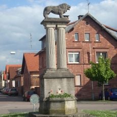
Erlenbach am Main, urban municipality of Germany
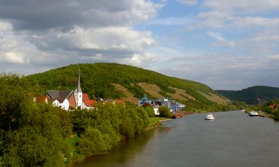
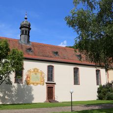
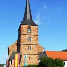
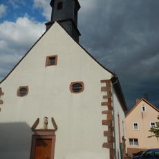
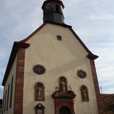
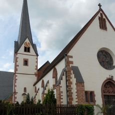
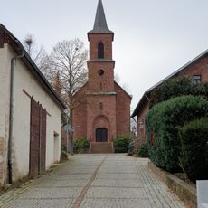
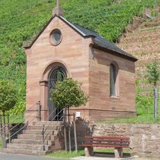
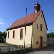
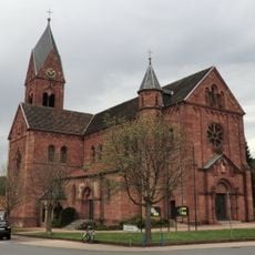
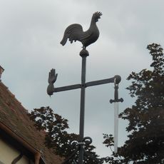
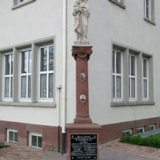
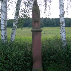
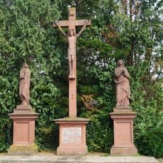
Erlenbach am Main is a small town in Bavaria known for its extensive vineyards that shape the landscape. The place has two historic churches: the Church of Sts. Peter and Paul from the 12th century and St. Josef Church from the 18th century, both visible in the town.
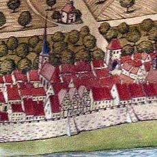
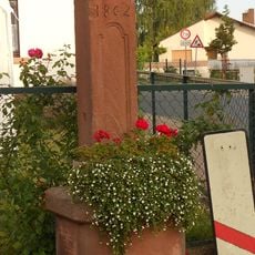
The area has been inhabited since the Bronze Age, as shown by archaeological finds from around 1000 BC. Organized agricultural use began around the year 900 with the first farms, establishing the place on a long tradition of cultivation.
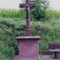
The name refers to an alder tree, a species commonly found along riverbanks in this region. Local residents take pride in their winemaking traditions and celebrate these throughout the year with festivals that honor the harvest and regional customs.
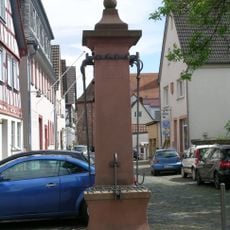
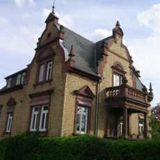
The place is easy to explore on foot, with neat streets and well-maintained buildings. There are leisure facilities including a miniature golf course, an open-air swimming pool with a waterslide and diving board, and the Planetenweg, an educational trail about the solar system.
The Fränkische Rotwein Wanderweg is a walking trail of about 55 kilometers that passes through the region's vineyards and invites visitors to taste local wines at various stops. The route is intentionally designed for hikers rather than drivers, creating the opportunity to sample wine along the way.
The community of curious travelers
AroundUs brings together thousands of curated places, local tips, and hidden gems, enriched daily by 60,000 contributors worldwide.