
Mamming, municipality of Germany
Location: Dingolfing-Landau
Elevation above the sea: 368 m
Part of: Verwaltungsgemeinschaft Mamming
Shares border with: Moosthenning, Pilsting, Landau an der Isar, Reisbach, Gottfrieding
Website: http://mamming.de
GPS coordinates: 48.65000,12.60000
Latest update: March 7, 2025 10:49
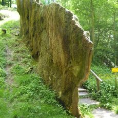
Wachsender Felsen
3.8 km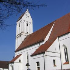
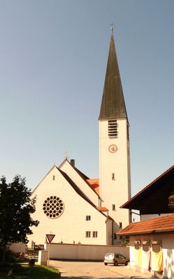
Mariä Empfängnis
5.1 km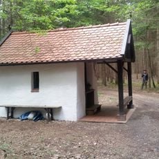
Groafrauerl
5 km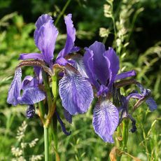
Königsauer Moos
5.5 km
Schloss Leonsberg
5.3 km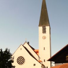
St. Margareta
416 m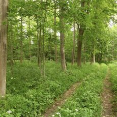
Isarauen bei Goben
3.8 km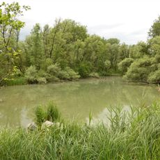
Isaraltwasser- und Brennenbereich bei Mamming
705 m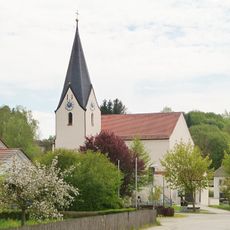
Katholische Filialkirche St. Petrus
2.7 km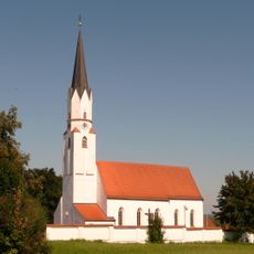
St. Stephan (Gottfrieding)
5 km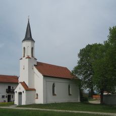
Filialkirche Sieben Schmerzen Mariens
4.2 km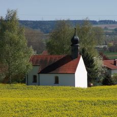
Töding St. Peter und St. Paul
4.7 km
Katholische Filialkirche Mariä Himmelfahrt
5.3 km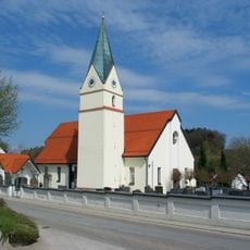
Chorraum der Vorgängerkirche
5.7 km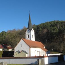
St. Laurentius, Frichlkofen
6.4 km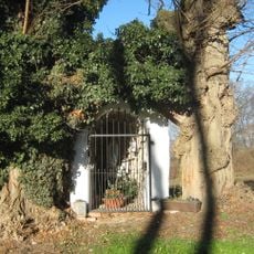
Golding-Lourdesgrotte
6 km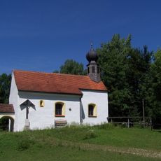
Katholische Filialkirche St. Laurentius
2.9 km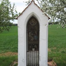
Kapellen-Bildstock
4.6 km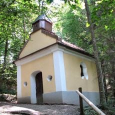
Kapelle St. Johannes
3.8 km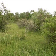
Magerstandorte bei Rosenau
1.7 km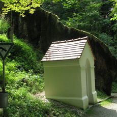
Bildstock
3.8 km
Unteres Isartal zwischen Niederviehbach und Landau
4.8 km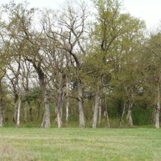
Rosenau
2.1 km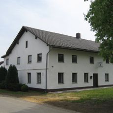
Gasthaus
3.8 km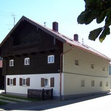
Bauernhaus
382 m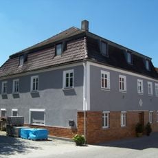
Wohnhaus
346 m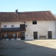
Wohnstallhaus
6.5 km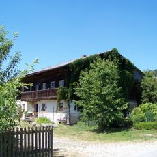
Bauernhaus eines ehem. Dreiseithofes
4.8 kmVisited this place? Tap the stars to rate it and share your experience / photos with the community! Try now! You can cancel it anytime.
Discover hidden gems everywhere you go!
From secret cafés to breathtaking viewpoints, skip the crowded tourist spots and find places that match your style. Our app makes it easy with voice search, smart filtering, route optimization, and insider tips from travelers worldwide. Download now for the complete mobile experience.

A unique approach to discovering new places❞
— Le Figaro
All the places worth exploring❞
— France Info
A tailor-made excursion in just a few clicks❞
— 20 Minutes