Geisa, municipality of Germany
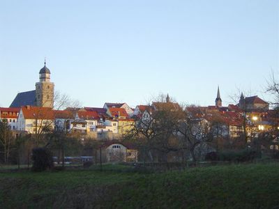
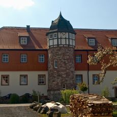
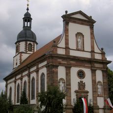
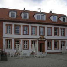
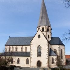
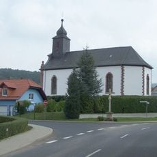
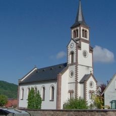
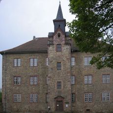
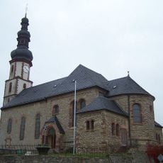
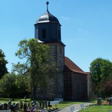
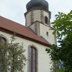
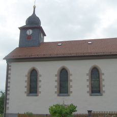
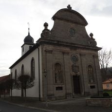
Geisa is a small town in the Wartburgkreis district featuring narrow, winding streets and old buildings from past centuries. The structures display traditional architecture with sloped roofs and historical details that shape the streetscape.
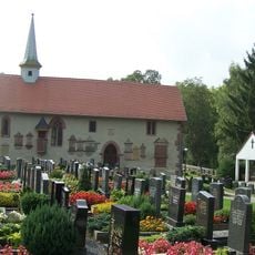
Geisa was first documented over 1200 years ago and originally belonged to the church of Fulda. The town was fortified with protective walls around 1265, with remains still visible today.
The name Geisa is rooted in ancient traditions and remains woven into the town's identity. Today, visitors notice how local markets and community gatherings keep these connections alive, with residents sharing stories and customs that reflect generations of life in this place.
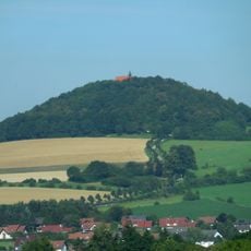
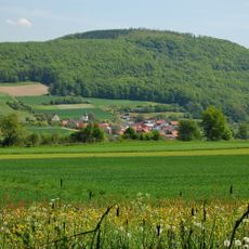
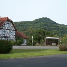
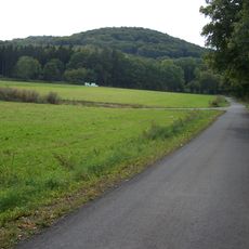
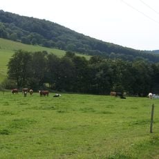
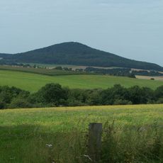
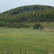
The town sits in hilly terrain of the Rhön region and is surrounded by forests and fields ideal for walking and exploring. Visitors find local shops and markets in the town center where most attractions are within walking distance.
The town has a special connection to Cold War history, as it sat directly on the border between East and West Germany. Just across the former border today stands Point Alpha, a memorial that marks the period of German division.
The community of curious travelers
AroundUs brings together thousands of curated places, local tips, and hidden gems, enriched daily by 60,000 contributors worldwide.