
Grundsheim, municipality in Baden-Württemberg, Germany
Location: Alb-Donau-Kreis
Location: Munderkingen GVV
Elevation above the sea: 532 m
Website: https://www.grundsheim.de/
Website: https://grundsheim.de
GPS coordinates: 48.17528,9.66694
Latest update: March 7, 2025 00:40

Bussen
8.4 km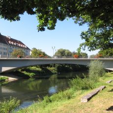
Munderkinger Donaubrücke
7.1 km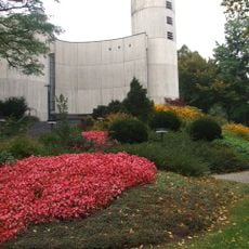
Kloster Untermarchtal
8.4 km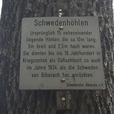
Schwedenhöhlen (Reutlingendorf)
7.5 km
St. Johannes Baptist auf dem Bussen
8.4 km
Pfarrkirche St. Dionysius
6.9 km
Ruine Bussen
8.3 km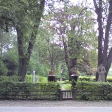
Obermarchtal German military cemetery
7.6 km
Pfarrkirche St. Martinus
2.2 km
Krippenmuseum Oberstadion
2.2 km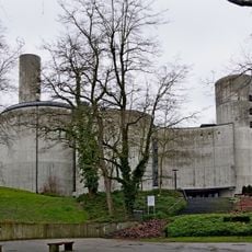
St. Vinzenz
8.4 km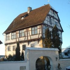
Alberweiler Castle
7.6 km
Ahlener Eiche
5.5 km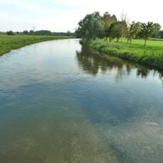
Flusslandschaft Donauwiesen zwischen Zwiefaltendorf und Munderkingen
6.9 km
Donau zwischen Munderkingen und Riedlingen
8.6 km
Bussen
8 km
Burgrest Emerkingen
4.1 km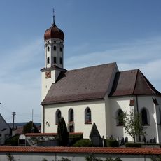
Pfarrkirche St. Sixtus, Reutlingendorf
8.6 km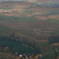
Nördliches Federseeried
7.1 km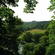
Obermarchtal
7.6 km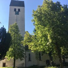
St. Wolfgang
6.4 km
Federsee
9.2 km
Gutershofer Weiher
6 km
Grundsheim
278 m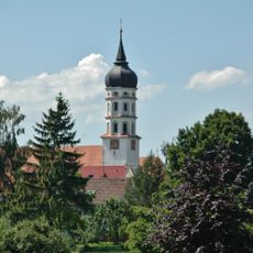
Pfarrkirche St. Martinus
8 km
Stiel-Eiche im Gewann Kirchenesch in Ahlen
5.5 km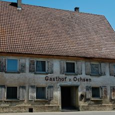
Gasthof zum Ochsen
8.2 km
Baumbestand Soldatenfriedhof
7.6 kmReviews
Visited this place? Tap the stars to rate it and share your experience / photos with the community! Try now! You can cancel it anytime.
Discover hidden gems everywhere you go!
From secret cafés to breathtaking viewpoints, skip the crowded tourist spots and find places that match your style. Our app makes it easy with voice search, smart filtering, route optimization, and insider tips from travelers worldwide. Download now for the complete mobile experience.

A unique approach to discovering new places❞
— Le Figaro
All the places worth exploring❞
— France Info
A tailor-made excursion in just a few clicks❞
— 20 Minutes