Enable Location

We need your location to show you interesting places around you

Discover nearby places

Find interesting locations and hidden gems around you

Precise directions

Get accurate directions and distances to places

Your location is never shared with other users. It's only used when you tap the location button.

Balderschwang

Log in to your account

Start exploring — it's free

Trusted by 61,441 travelers worldwide

Continue with Google
Continue with Apple
or

We will send you a code to connect

By continuing, you accept our Terms and Conditions and our Privacy Policy

Check your inbox

We've sent a pincode in your inbox. Please enter the code below.

Balderschwang, Mountain municipality in Oberallgäu, Germany.

Description

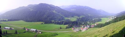
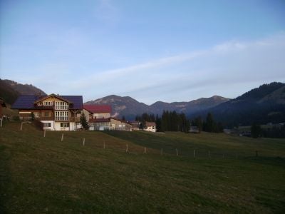
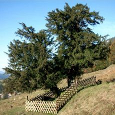
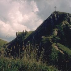
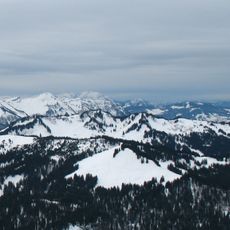
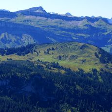
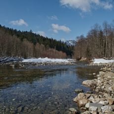
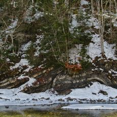
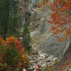
Balderschwang is a small mountain municipality in the Bavarian region of Oberallgäu, situated at 1,044 meters elevation and positioned near the Austrian border. The landscape features rolling alpine meadows, forest areas, and scattered farmhouses typical of this high-altitude region.

History

The settlement developed as a farming community in the high Alps and eventually became an administrative part of the Oberallgäu region. Population gradually increased from the late 1800s through the 1900s as the area became more established.

Culture

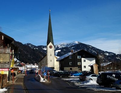
The name comes from a local family that once lived here, and residents continue to practice traditional mountain farming customs that shape daily life. You can see this heritage reflected in the architecture and the way people maintain their land.

Practical

The location sits in a higher alpine region, so visitors should be prepared for changeable weather and longer travel times within the area. Access is best during warmer months when mountain roads and paths are in good condition.

Did you know?

This place is one of Germany's most sparsely populated regions, giving it a distinctive character shaped by solitude and nature. Few visitors reach this remote corner, which means the landscape remains relatively undisturbed by heavy foot traffic.

Location
Capital city
Balderschwang
Elevation above the sea
1,044 m
Part of
Verwaltungsgemeinschaft Hörnergruppe
Shares border with
Oberstdorf, Blaichach, Bolsterlang, Obermaiselstein, Oberstaufen, Sibratsgfäll, Hittisau
GPS coordinates
47.46667,10.10000
Latest update
December 19, 2025 22:03

AroundUs brings together thousands of curated places, local tips, and hidden gems, enriched daily by 60,000 contributors worldwide. Discover all places nearby (Oberallgäu).

« Balderschwang - Mountain municipality in Oberallgäu, Germany » is provided by Around Us (aroundus.com). Images and texts are derived from Wikimedia project under a Creative Commons license. You are allowed to copy, distribute, and modify copies of this page, under the conditions set by the license, as long as this note is clearly visible.

Discover hidden gems everywhere you go!

From secret cafés to breathtaking viewpoints, skip the crowded tourist spots and find places that match your style. Our app makes it easy with voice search, smart filtering, route optimization, and insider tips from travelers worldwide. Download now for the complete mobile experience.

Around Us App Screenshot

A unique approach to discovering new places

Le Figaro

All the places worth exploring

France Info

A tailor-made excursion in just a few clicks

20 Minutes

Around Us
Travel Guide & Maps
Download

Send to your phone

QR Code
1

Open the camera app on your mobile.

2

Point at the QR code with your camera. A notification will appear.

3

Tap the notification to open the link.