Neubulach, Health resort town in Calw District, Germany.
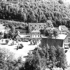
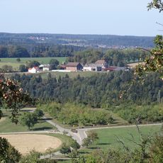
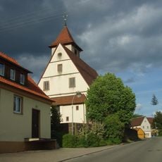
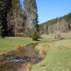
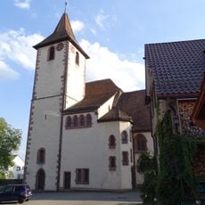
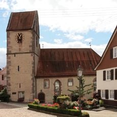
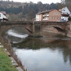
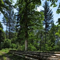
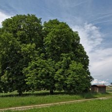
Neubulach is a health resort and municipal town in Calw District, sitting on a sunny plateau about 584 meters above Teinachtal valley. Its location offers views across the Black Forest landscape toward the Swabian Alps.
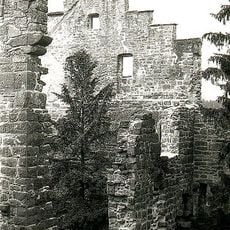
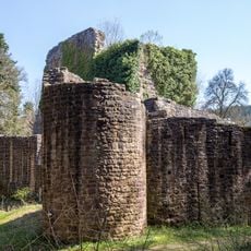
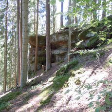
The town's history is closely tied to silver mining, whose traces are preserved through the Hella-Gluck visitor mine tunnel that conserves centuries-old extraction activities. This mining tradition shaped the town's development and identity for a long time.
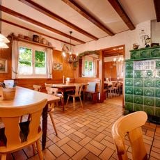
The weekly Friday market at the town center draws locals and visitors together, where regional specialties, fresh baked goods, and traditional Black Forest products are sold. This gathering has become an important social meeting point that shapes the community life of the town.
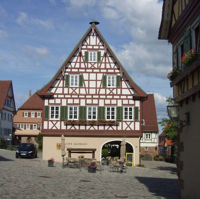
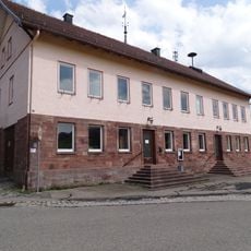
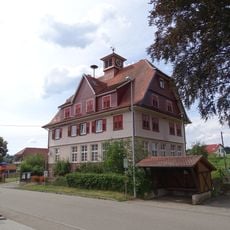
The Bergvogtei information center at Market Square is housed in a timber-framed building and provides visitor assistance six days per week. This helpful facility offers advice on activities, accommodation, and the best times to explore the town.
The former silver mine tunnels now serve as therapeutic spaces where people with respiratory conditions benefit from the pure, mineral-rich air. This unusual use shows how historic mining facilities can serve modern health purposes.
The community of curious travelers
AroundUs brings together thousands of curated places, local tips, and hidden gems, enriched daily by 60,000 contributors worldwide.