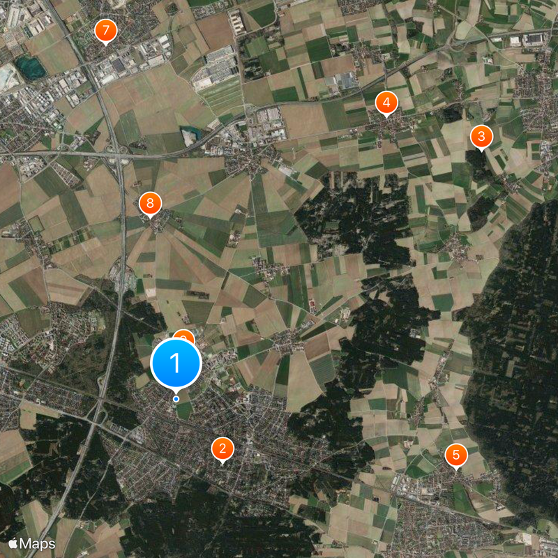
Vaterstetten, Non-urban municipality in Ebersberg district, Bavaria, Germany
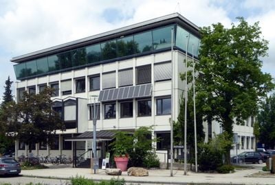
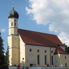
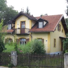
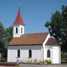
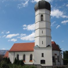
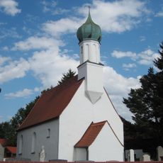
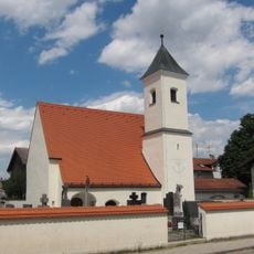
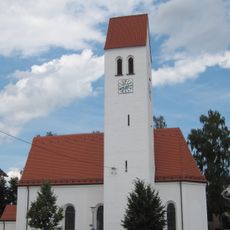
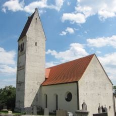
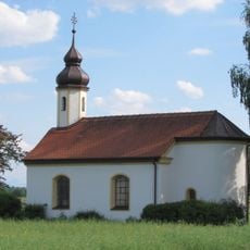
This municipality east of Munich comprises seven separate village centers scattered across rolling countryside, with Baldham and Hergolding serving as larger hubs. The other settlements like Neufarn maintain a rural character typical of the region.
People lived in this area as early as 750 to 600 BC, with Purfing emerging as the oldest known settlement in the region. The area grew more connected during the Middle Ages when roads began linking the villages together.
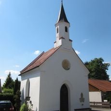
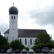
The community grew from farming and crafts, which still shape how the villages are laid out and connected. Locals gather in central squares and green spaces that serve as meeting points throughout the year.
The S-Bahn train offers quick access to central Munich in roughly twenty minutes through the regional transit network. Cycling is practical here thanks to connecting paths between the villages, and the highway provides easy car access.
In 1800, peace negotiations happened here before the Battle of Hohenlinden during the Napoleonic Wars. This brief moment links the quiet rural area to a major event in European military history.
Location: Ebersberg
Elevation above the sea: 528 m
Shares border with: Poing, Anzing, Zorneding, Anzinger Forst, Eglhartinger Forst, Grasbrunn, Haar, Feldkirchen
Website: https://vaterstetten.de
GPS coordinates: 48.10500,11.77056
Latest update: December 6, 2025 22:06
Staatsatelier Thorak
1.3 km
St. Peter und Paul
6 km
St. Georg
4.8 km
Evangelische Kapelle (Klinikum Haar)
2.3 km
Scheckenhoferhaus
523 m
Saint Ulrich of Augsburg Church
6.1 km
St. Martin
3.5 km
Katholische Filialkirche St. Korbinian, ehemals St. Magdalena
2.2 km
Neufarner Lourdeskapelle
5.9 km
Katholische Filialkirche St. Bartholomäus
3.2 km
Katholische Filialkirche St. Pankratius
850 m
Katholische Kirche St. Nikolaus
4.3 km
Kapelle
7.2 km
Feldkapelle
4.5 km
St Laurentius
5.5 km
Wegkapelle
4.3 km
Kapelle
4 km
Gedenkstätte für die Opfer der »Euthanasie« Haar
2.2 km
Brennerei
4.4 km
Zum kostbaren Blut Christi
46 m
Purfinger Straße 1
6 km
Stadel
4.8 km
Wohnhaus
430 m
Wohnhaus
1.7 km
Ehemaliges Kuraten- und Schulhaus
6 km
Ehemaliges Bauernhaus
4.8 km
Gasthof Stangl
6.1 km
Büro- und Verwaltungsgebäude Vockestraße 76 in Haar (bei München)
2.5 kmReviews
Visited this place? Tap the stars to rate it and share your experience / photos with the community! Try now! You can cancel it anytime.
Discover hidden gems everywhere you go!
From secret cafés to breathtaking viewpoints, skip the crowded tourist spots and find places that match your style. Our app makes it easy with voice search, smart filtering, route optimization, and insider tips from travelers worldwide. Download now for the complete mobile experience.
A unique approach to discovering new places❞
— Le Figaro
All the places worth exploring❞
— France Info
A tailor-made excursion in just a few clicks❞
— 20 Minutes