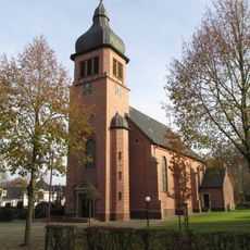
Löningen, Urban municipality in Cloppenburg, Germany
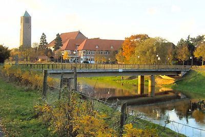
Löningen sits on the bank of the Hase River and spreads across flat to gently rolling terrain in Lower Saxony. The town offers shops, schools, and administrative services that support the daily life of around 13,800 residents.
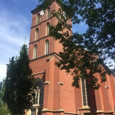
The area was first recorded in 822 as Loingo and later fell under the rule of the Münster diocese. Over the centuries it became part of the Oldenburg Duchy and developed into an agricultural community.
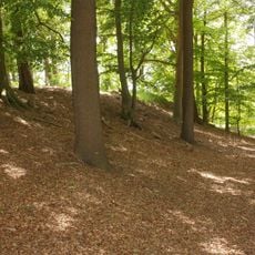
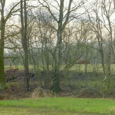
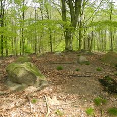
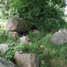
The town maintains its connection to farming, which still shapes the appearance of the surrounding area and remains visible in the fields around it. People here live with the rhythms of agriculture and use local spaces for gatherings that keep this tradition alive.
The town center is easy to explore and has all the facilities visitors need, from restaurants to parking. Walking through allows you to get to know the center and the surrounding neighborhoods.
The area has an industrial past visible in some older buildings, showing how the economy evolved from craftsmanship to modern times. Today, green agricultural land again dominates the landscape and shapes the region's character.
Location: Cloppenburg
Elevation above the sea: 24 m
Shares border with: Herzlake, Lähden, Werlte, Lindern, Lastrup, Essen, Menslage, Brokstreek, Ahausen, Herbergen
Website: https://loeningen.de
GPS coordinates: 52.73600,7.75790
Latest update: December 15, 2025 03:27
St. Petrus
9.8 kmBunner Masuren
5.6 km
Aseburg
8 km
Oldendorfer Hünensteine
7.3 kmNiederungen der Süd- und Mittelradde und der Marka
9.1 km
St. Bonifatius
5.2 kmKino-Museum Löningen
296 m
Moorburg (Menslage)
5.4 km
Großsteingrab Am hohen Stein
8 kmOldendorfer Moor
6.2 km
Ganggrab auf dem Sonderling
10.7 km
Großsteingrab Wachtum
6.5 km
Großsteingräber im Fuhrenkamp
6.5 km
Ganggrab auf dem Ladenesch
4.6 kmHaseknie
926 mBrockhöhe
910 mMittelradde - Marka -Südradde
9.4 kmWaldgebiet mit vorgeschichtlichen Funden rechts der Straße Löningen - Elbergen
1.4 kmAlter Hasearm mit Steilabfall (Lampske Gatt)
6 kmRöpker Durchstich
1.9 kmAselager Mühle
8.4 kmWassermühle Gut Duderstadt
3.4 kmSchutenmühle
3.7 kmKarlsgarten
6.6 kmGrünes Klassenzimmer
3.5 kmEhrener Betschule
6 kmWellenfreibad Hasetal
647 mGroßsteingrab Werwe
4 kmVisited this place? Tap the stars to rate it and share your experience / photos with the community! Try now! You can cancel it anytime.
Discover hidden gems everywhere you go!
From secret cafés to breathtaking viewpoints, skip the crowded tourist spots and find places that match your style. Our app makes it easy with voice search, smart filtering, route optimization, and insider tips from travelers worldwide. Download now for the complete mobile experience.
A unique approach to discovering new places❞
— Le Figaro
All the places worth exploring❞
— France Info
A tailor-made excursion in just a few clicks❞
— 20 Minutes