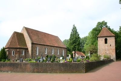
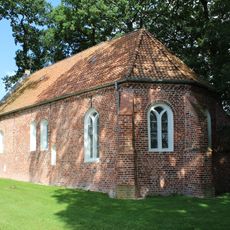
Rhauderfehn, municipality of Germany
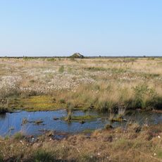
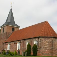
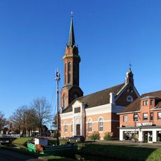
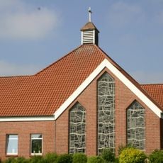
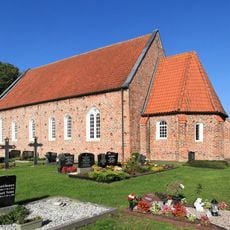
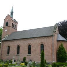
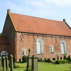
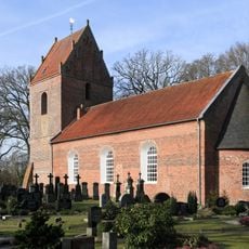
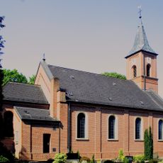
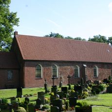
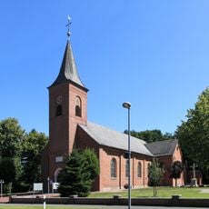
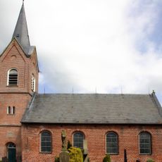
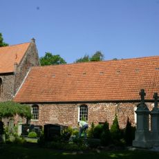
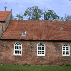
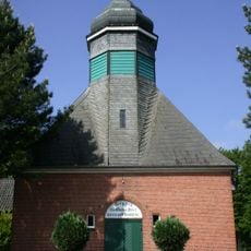
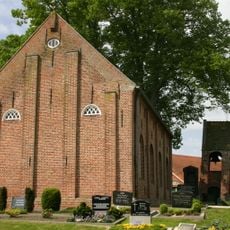
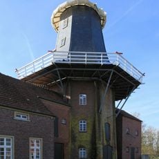
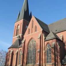
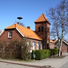
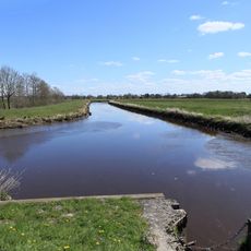
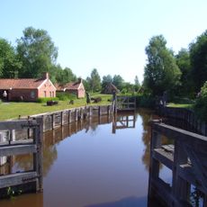
Rhauderfehn is a municipality in Leer district in Lower Saxony, situated across flat terrain with extensive peatland areas. The landscape features farmland, small villages, and waterways that shape the typical character of the East Frisian region.
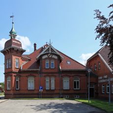
The municipality developed in the 20th century as a result of peatland reclamation projects and the cultivation of moorland in the region. This expansion shaped the settlement patterns and economy of the area.
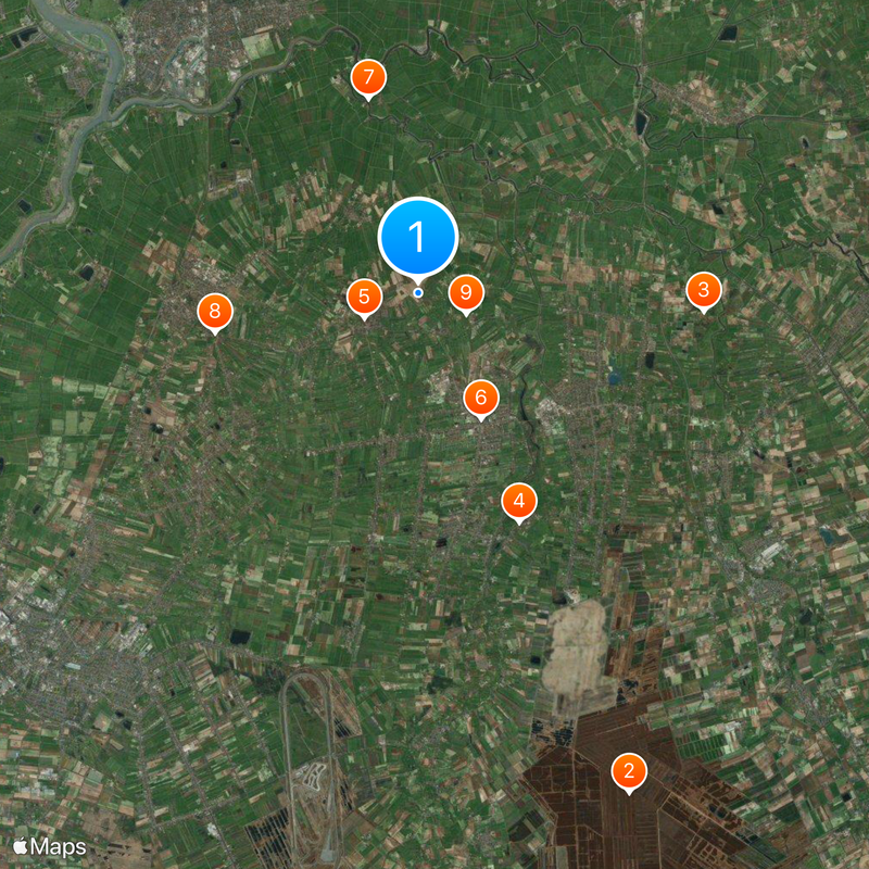
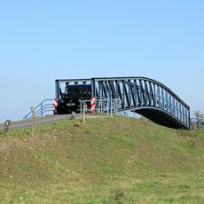
The area is best explored by car, as the villages are connected across a dispersed network of roads. The flat terrain makes cycling a practical and popular way to get around for visitors.
The community of curious travelers
AroundUs brings together thousands of curated places, local tips, and hidden gems, enriched daily by 60,000 contributors worldwide.