Taufkirchen, municipality in Landkreis Erding, Bavaria, Germany
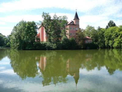
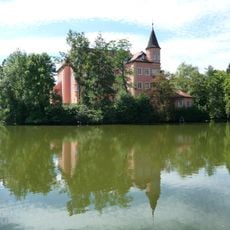
This municipality in the Erding district of Upper Bavaria comprises several small villages located close to one another. The Vils river shapes the surrounding landscape and remains visible throughout the area, while the moated castle serves as the historical center and is used today for dining, events, and cultural activities.
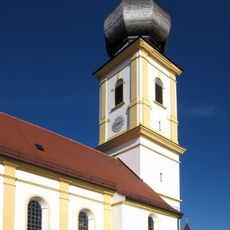
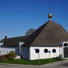
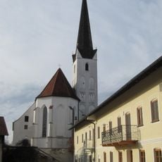
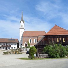
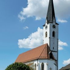
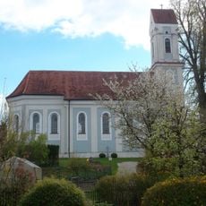
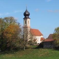
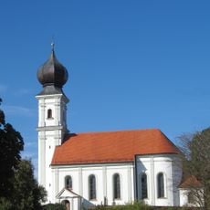
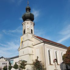
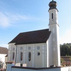
The first written record of this place dates to 1263, when the moated castle was first mentioned in documents and served as a seat of power during the Middle Ages. The original baptismal church that gave the settlement its name was demolished about 130 years ago, and a parish church was later built on that site.
The name originates from an old baptismal church that once stood here and served as a place where many children received baptism. Today, cultural life expresses itself through numerous clubs and festivals where residents and visitors gather to experience local traditions, music, crafts, and regional food.
The moated castle is easily accessible via an elevator, and special parking spots and restrooms for people with disabilities are located just outside the building. An informational leaflet about the castle's history is available at the town hall to help visitors understand the development of the place.
The community is known for its furniture industry, particularly through the company himolla, which produces high-quality upholstered furniture recognized across Europe. Additionally, the town has its own brewery that makes beer using recipes passed down for over 300 years.
The community of curious travelers
AroundUs brings together thousands of curated places, local tips, and hidden gems, enriched daily by 60,000 contributors worldwide.