Buttenheim, municipality of Germany
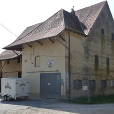
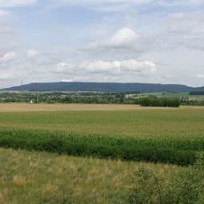
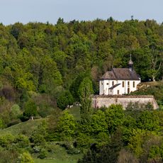
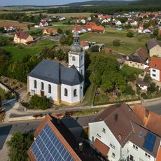
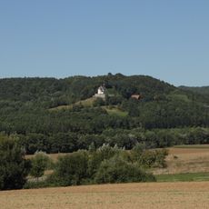
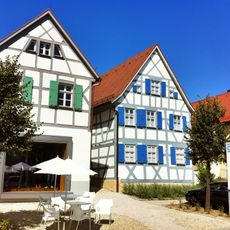
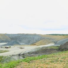
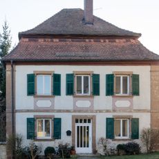
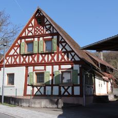
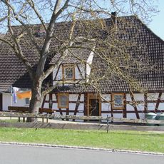
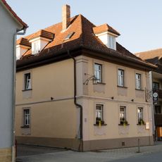
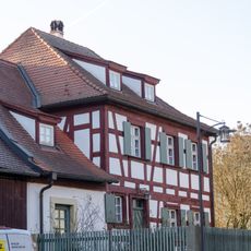
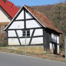
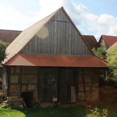
Buttenheim is a market municipality in the Bamberg district of Bavaria, Germany. The settlement maintains its rural character with small-scale residential areas and local farming traditions that shape daily life in the region.
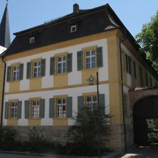
The community received market privileges during the Middle Ages, establishing its role as a regional trade center. This status shaped its development and allowed it to become an important point for local commerce and exchange.
The municipality is well connected to Bamberg by regional roads and works well as a stopover when exploring the Franconian countryside. Amenities are designed for local needs rather than tourist services, so planning ahead helps when visiting.
The community of curious travelers
AroundUs brings together thousands of curated places, local tips, and hidden gems, enriched daily by 60,000 contributors worldwide.