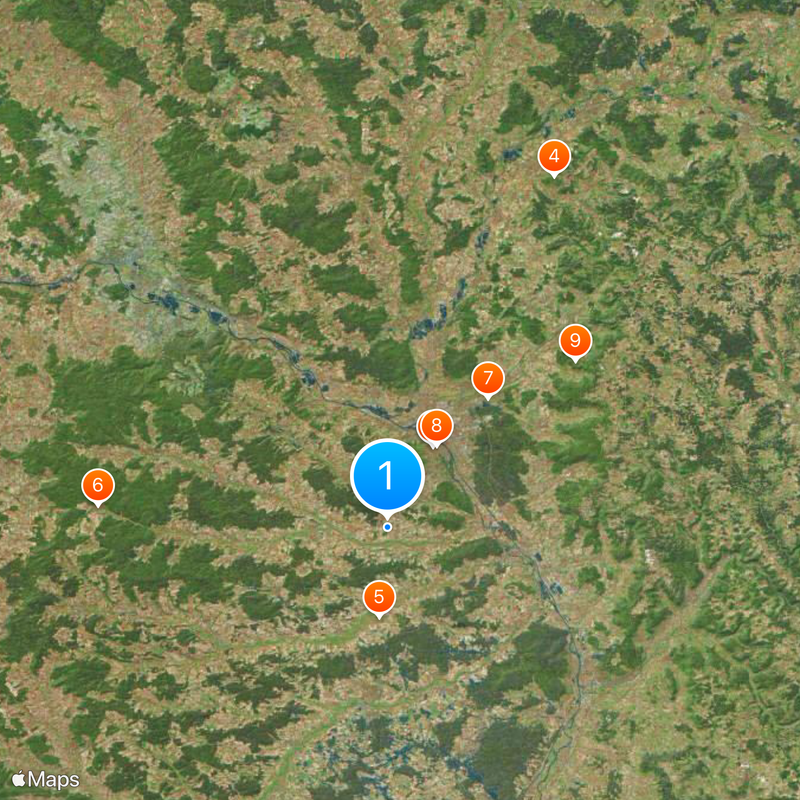
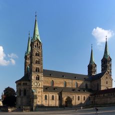
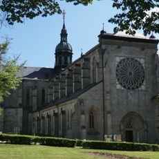
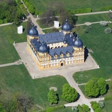
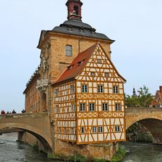
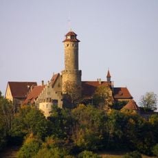
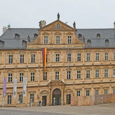
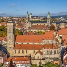
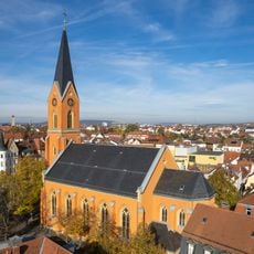
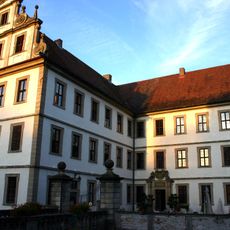
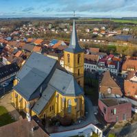
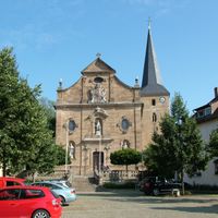
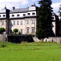
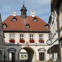
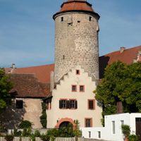
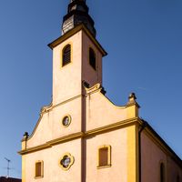
Bamberg, Administrative district in Upper Franconia, Germany.
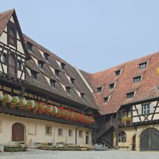
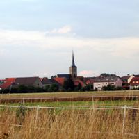
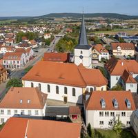
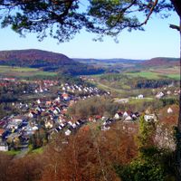
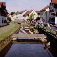
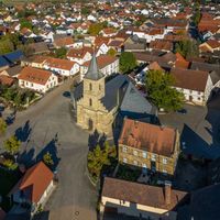
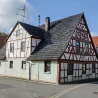
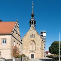
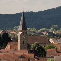
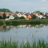
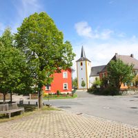
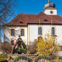
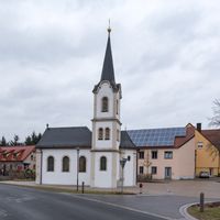
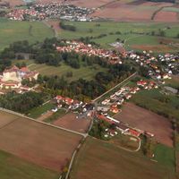
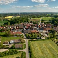
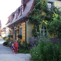
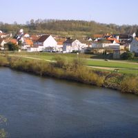
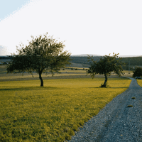
Bamberg district is an administrative area in Upper Franconia with several municipalities spread across a landscape of forests and river systems. The region extends over rolling terrain with fields, meadows, and smaller settlements connected by local roads.
The area was created in 1862 as an administrative district during Bavaria's reorganization in the 19th century. Over time, various boundaries were adjusted to create its present form.
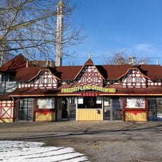
The region is known for its breweries and traditional beer culture that shapes daily life. Visitors will find taverns throughout the area where people gather for socializing and relaxation.
The region is well connected by regional roads and rail lines linking the individual towns together. Visitors should rent a car or use local bus connections to explore the various villages and natural areas.
The area is home to Hallstatt Lake, a popular spot with clear water nestled in scenic surroundings. The lake draws visitors who want to swim, walk along the shore, or simply enjoy nature.
Location: Upper Franconia
Inception: July 1, 1862
Capital city: Bamberg
Elevation above the sea: 275 m
Shares border with: Lichtenfels, Bamberg, Bayreuth, Forchheim District, Erlangen-Höchstadt, Neustadt (Aisch)-Bad Windsheim, Kitzingen, Schweinfurt, Haßberge, Coburg
Website: http://landkreis-bamberg.de
GPS coordinates: 49.83000,10.83000
Latest update: December 20, 2025 02:17
Bamberg Cathedral
7.7 km
Bamberg Horseman
7.8 km
Staffelberg
32.4 km
Schloss Weißenstein
7.5 km
Ebrach Abbey
24.2 km
Schloss Seehof
13.7 km
Old town hall
8 km
Höhenburg
21 km
Burg
6.3 km
Freizeit-Land Geiselwind
27.3 km
Synagoge Buttenheim
14.8 km
Brose Arena
8.5 km
Kettenbrücke
8.2 km
Michaelsberg Abbey
7.9 km
New Residence, Bamberg
7.8 km
Naturwald Kleinengelein
26.7 km
Bischofspfalz
7.8 km
Vorburg
25.1 km
Neideck Castle
29 km
Bamberg
9.3 km
Feuerstein Castle
24.4 kmAltstadt
8.1 km
Bing Cave
27.9 km
Obere Pfarre
7.7 km
Mälzerei
9.6 km
Maria Hilf
8.6 km
Schloss
25 km
Kaisergrab Heinrich II.
7.7 kmVisited this place? Tap the stars to rate it and share your experience / photos with the community! Try now! You can cancel it anytime.
Scheßlitz
Hallstadt
Baunach
Schlüsselfeld
Zapfendorf
Rattelsdorf
Hirschaid
Heiligenstadt in Oberfranken
Ebrach
Buttenheim
Burgwindheim
Burgebrach
Lisberg
Lauter
Königsfeld
Kemmern
Gundelsheim
Gerach
Frensdorf
Breitengüßbach
Bischberg
Altendorf
Stegaurach
Stadelhofen
Schönbrunn im Steigerwald
Reckendorf
Priesendorf
Pommersfelden
Pettstadt
Oberhaid
Memmelsdorf
Litzendorf
Wattendorf
Walsdorf
Viereth-Trunstadt
Strullendorf
Ebracher Forst
Eichwald
Geisberger Forst
Hauptsmoor
Koppenwinder Forst
Lindach
Semberg
Steinachsrangen
Winkelhofer Forst
Zückshuter Forst
Discover hidden gems everywhere you go!
From secret cafés to breathtaking viewpoints, skip the crowded tourist spots and find places that match your style. Our app makes it easy with voice search, smart filtering, route optimization, and insider tips from travelers worldwide. Download now for the complete mobile experience.
A unique approach to discovering new places❞
— Le Figaro
All the places worth exploring❞
— France Info
A tailor-made excursion in just a few clicks❞
— 20 Minutes