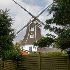
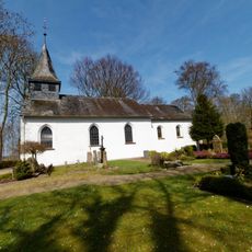
Ladelund, municipality of Germany
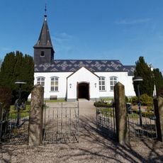
Ladelund is a small municipality in Nordfriesland, northern Germany, known for its memorial and educational center dedicated to victims of a concentration camp that operated in late 1944. The site houses two museums with photographs, letters, and objects from that period as well as local border region history.
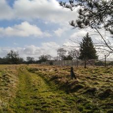
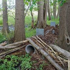
The area became the site of a concentration camp operated in the final months of 1944 during World War II, bringing hardship to many people. After the war, the memorial was established to document this period and remind future generations of the importance of peace.
Ladelund is a place where remembrance of the Nazi era holds a central role in community life. The memorial site is treated with deep respect by visitors and residents alike, showing how important it is to the village to keep this history alive.
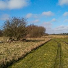
The site is easily accessible and offers an audio guide allowing visitors to explore the history at their own pace, making it easy for everyone to understand. The paths are well-kept and the entire area is respectfully designed, ideal for thoughtful visits and reflection.
The area was once home to two separate museums, each illuminating a different aspect of local history - one focused on the camp itself, the other on the border region with Denmark. This dual approach allows visitors to understand the experiences of people both during and after wartime.
The community of curious travelers
AroundUs brings together thousands of curated places, local tips, and hidden gems, enriched daily by 60,000 contributors worldwide.