
Lipporn, municipality of Germany
Location: Verbandsgemeinde Nastätten
Location: Rhein-Lahn-Kreis
Elevation above the sea: 415 m
Website: http://vgnastaetten.de
GPS coordinates: 50.14111,7.86389
Latest update: March 6, 2025 05:26
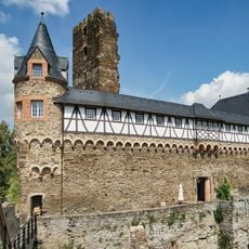
Sauerburg
7.3 km
Schönau Abbey in Nassau
2.2 km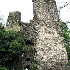
Burg Rheinberg
6.2 km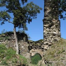
Burg Waldeck
7.9 km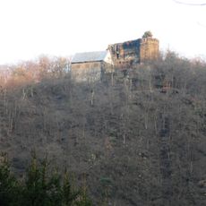
Burg Haneck
6.7 km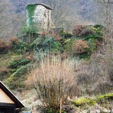
Burg Geroldstein
6.5 km
Kammerburg
6.6 km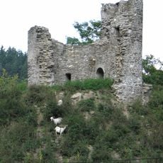
Lauksburg
5.8 km
Grube Viktoria
6.4 km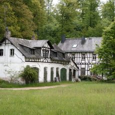
Grube Kreuzberg
3.5 km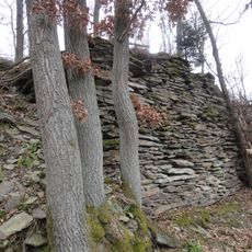
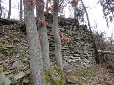
Alte Burg
1.9 km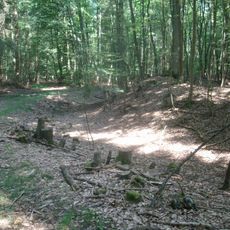
Alte Schanz
3.9 km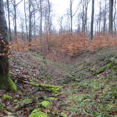
Schanze Weisel
2.9 km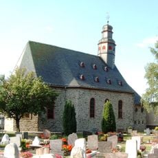
St. Katharina (Ransel)
4.6 km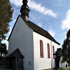
St. Nikolaus
4.3 km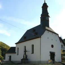
St. Anna
6.9 km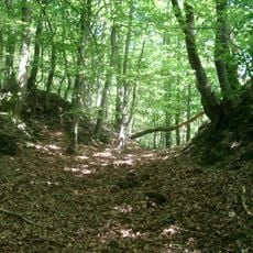
Hareschloß
3.6 km
Jüdischer Friedhof
6.3 km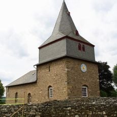
Evangelische Kirche
6 km
St. Antonius
2.8 km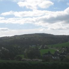
Grauer Kopf
5.3 km
Blücherdenkmal Weisel
5.2 km
Evangelische Kirche
4.9 km
Synagogue of Nastätten
6.4 km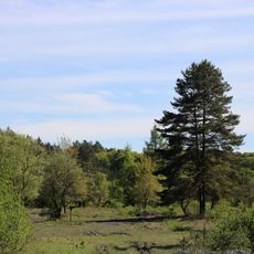
Schiefergrube Rosit bei Nauroth
5.4 km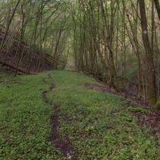
Naturschutzgebiet Unteres Ranselbachtal bei Lorch
7.3 km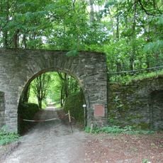
Reichsarbeitsdienstlager Gottfried Keller
5.8 km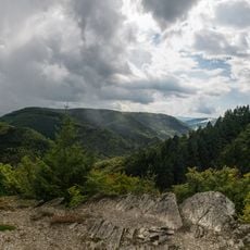
Wispertaunus
6 kmVisited this place? Tap the stars to rate it and share your experience / photos with the community! Try now! You can cancel it anytime.
Discover hidden gems everywhere you go!
From secret cafés to breathtaking viewpoints, skip the crowded tourist spots and find places that match your style. Our app makes it easy with voice search, smart filtering, route optimization, and insider tips from travelers worldwide. Download now for the complete mobile experience.

A unique approach to discovering new places❞
— Le Figaro
All the places worth exploring❞
— France Info
A tailor-made excursion in just a few clicks❞
— 20 Minutes