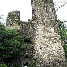
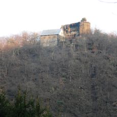
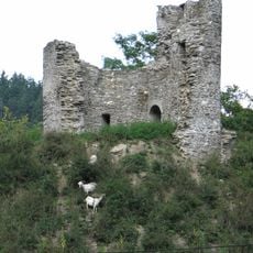
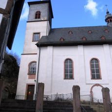
Burg Geroldstein, Medieval castle ruin near Dickschied-Geroldstein, Germany
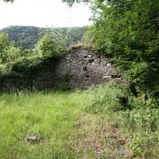
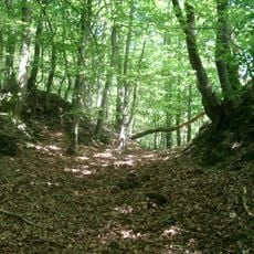
Burg Geroldstein is a medieval castle ruin perched on a rocky outcrop above the Wisper valley in Hesse, with visible remains of a heptagonal keep and multiple tower foundations still standing. The site preserves enough of its original layout to reveal how such fortifications were designed and positioned for defense.
The castle first appeared in written records in 1215 under the name Gerardstein and served as the ancestral home of the von Geroldstein family for generations. When this noble family died out in the late 16th century, the site lost its function and was gradually abandoned.
The ruins show how local nobility positioned their strongholds to project power across the surrounding lands and how stone structures embodied their permanent authority. Visitors can still sense how the remote location served as a symbol of control over territory and trade.
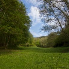
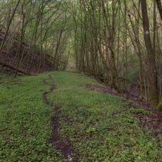
The ruin is accessible via local hiking trails and its stable structures allow visitors to explore safely on foot. Sturdy shoes are recommended since the ground is uneven and some areas slope steeply, which is typical for sites built on hillsides.
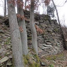
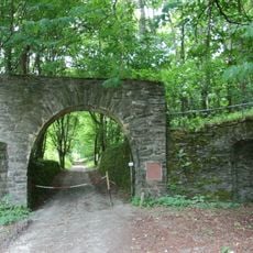
The castle's hilltop position is striking because it sits perched on three steep slopes, which forced builders to dig an exceptionally deep moat around the accessible side. The stones excavated from this ditch were then reused directly in the walls and towers themselves.
The community of curious travelers
AroundUs brings together thousands of curated places, local tips, and hidden gems, enriched daily by 60,000 contributors worldwide.