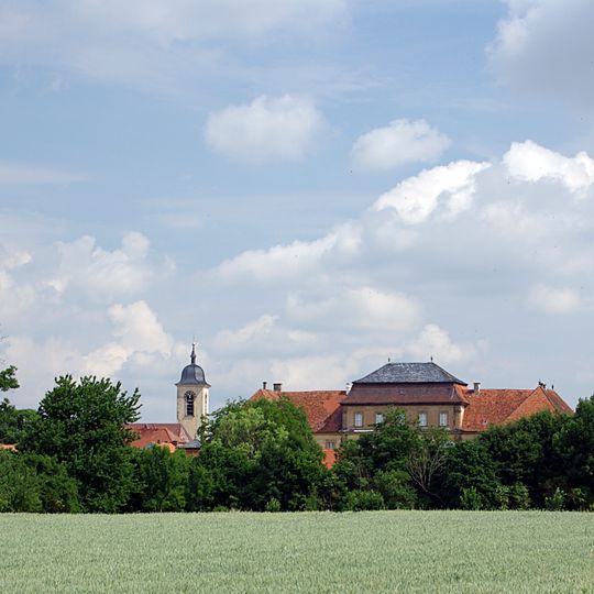
Sulzheim, municipality of Germany
Location: Schweinfurt
Elevation above the sea: 227 m
Part of: Verwaltungsgemeinschaft Gerolzhofen
Website: https://sulzheim.de
GPS coordinates: 49.95000,10.33333
Latest update: March 6, 2025 18:20

Schloss Sulzheim
592 m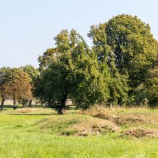
Sulzheimer Gipshügel
1 km
Pfarrkirche
523 m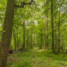
Hörnauer Wald
3.1 km
Filialkirche
3.9 km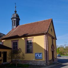
St. Anna in Vögnitz
4.7 km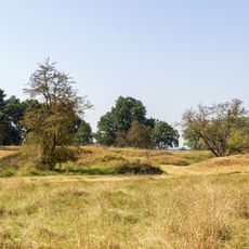
Schweinfurter Becken und nördliches Steigerwaldvorland
798 m
Wallfahrtskirche
5.2 km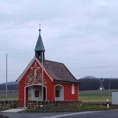
Kapelle
4.2 km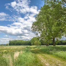
Herlheimer Wiesen
3.3 km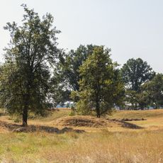
Schutz des Landschaftsraumes Umgebung der Sulzheimer Gipshügel in der Gemarkung Sulzheim, Landkreis Schweinfurt
1.1 km
Vogelschutzgebiet Alter und Neuer See
2.7 km
Bildstock
3.2 km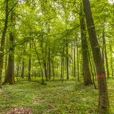
Naturschutzgebiet 'Hörnauer Wald'
3.1 km
Kruzifix
3.8 km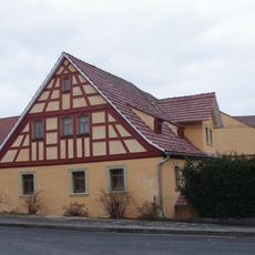
Bauernhaus
3.7 km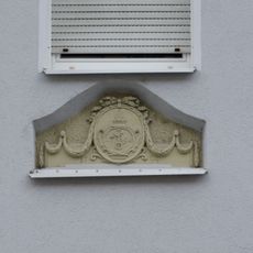
Fenstersturz
583 m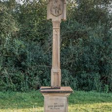
Bildstock
2.9 km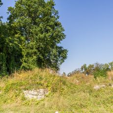
Sulzheimer Gipshügel
1 km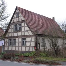
Wohnhaus
3.8 km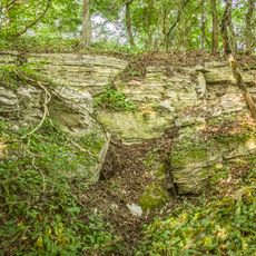
Ponordoline Hollergrube NNW von Sulzheim
713 m
Wegkreuz
4.4 km
Dürrfelder und Sulzheimer Wald
2.2 km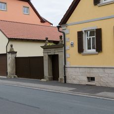
Hoftor
560 m
Kreuzigungsgruppe
464 m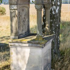
Tabernakelbildstock
973 m
Kreuz
897 m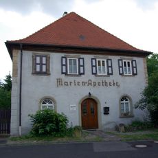
Wohnhaus
752 mReviews
Visited this place? Tap the stars to rate it and share your experience / photos with the community! Try now! You can cancel it anytime.
Discover hidden gems everywhere you go!
From secret cafés to breathtaking viewpoints, skip the crowded tourist spots and find places that match your style. Our app makes it easy with voice search, smart filtering, route optimization, and insider tips from travelers worldwide. Download now for the complete mobile experience.

A unique approach to discovering new places❞
— Le Figaro
All the places worth exploring❞
— France Info
A tailor-made excursion in just a few clicks❞
— 20 Minutes
