Rottendorf, municipality of Germany
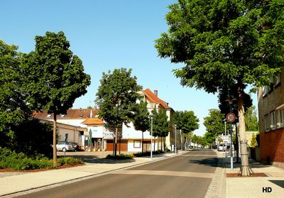
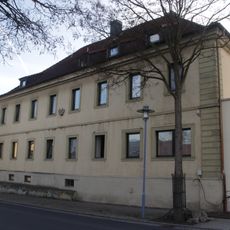
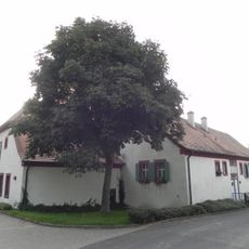
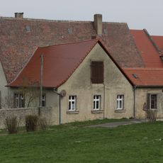
Rottendorf is a small municipality near Würzburg with around 5,300 residents, characterized by quiet streets and traditionally built houses. The village sits in a landscape of forests and fields while featuring a modern industrial area that provides local employment.
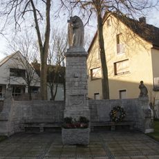
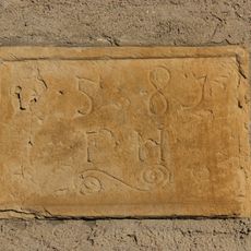
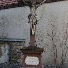
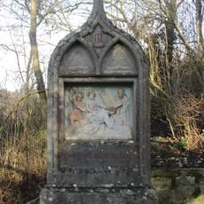
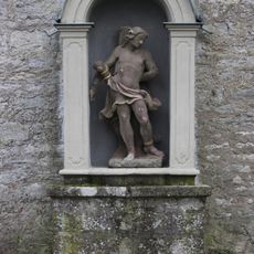
This settlement was first recorded around 1025 on cleared forest land, a fact reflected in its name which means 'roden' or clearing. After the Thirty Years' War, the village had to be rebuilt, and it later came under the rule of the Prince-Bishops of Würzburg.
The community gathers regularly for local festivals such as the Elder Flower Festival in late spring and the village festival in July. These events bring residents together to celebrate traditions and maintain the sense of belonging that defines daily life.
The village is easily reached by train, particularly via the Mainfrankenbahn line from Würzburg. Basic services like shops, schools, and healthcare facilities are available, making a visit or stay straightforward and convenient.
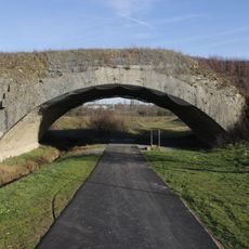
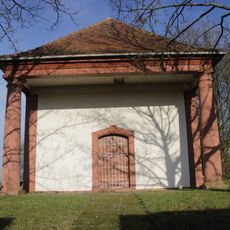
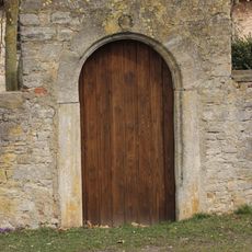
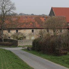
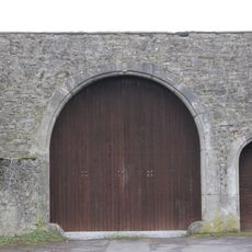
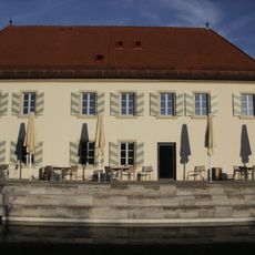
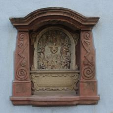
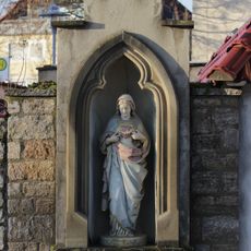
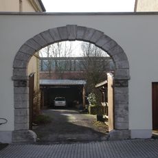
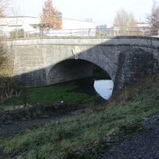
The Water Castle and the historic arch bridge are less known landmarks that reveal the former importance of the settlement. These structures offer visitors insight into an architectural heritage often overlooked by those passing through.
The community of curious travelers
AroundUs brings together thousands of curated places, local tips, and hidden gems, enriched daily by 60,000 contributors worldwide.