Stetten am kalten Markt, Municipality in Sigmaringen district, Germany
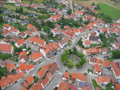
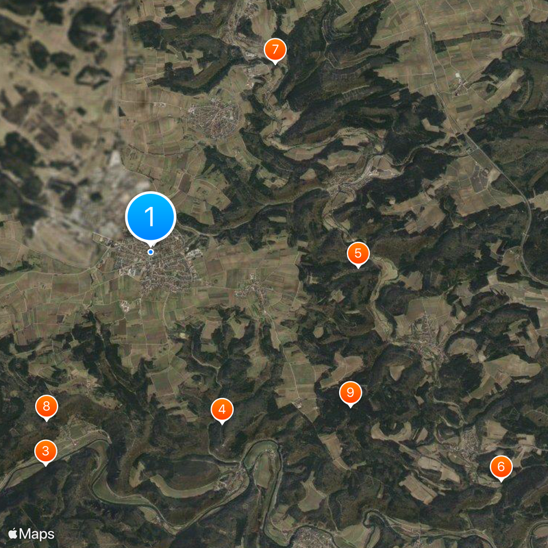
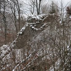
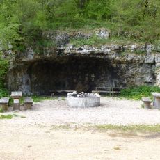
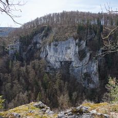
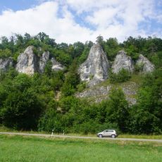
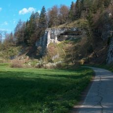
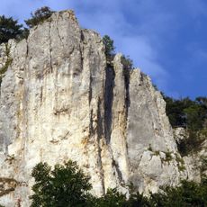
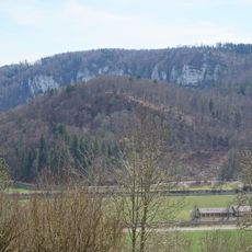
Stetten am kalten Markt is a municipality in Sigmaringen district within Baden-Württemberg, situated at about 768 meters elevation in hilly terrain. The territory encompasses a rural landscape with agricultural areas and several villages connected by local roads.
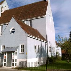
The region had strong ties to Reichenau monastery in medieval times, which exerted significant economic and religious influence on the area. The settlement later developed into an important trading point where merchants gathered before crossing territorial borders.
The municipality brings together several villages like Frohnstetten, Glashütte, Storzingen, and Nusplingen, each maintaining its own local character. This patchwork of settlements gives the area its particular regional identity.
The municipality provides local facilities such as the Alemannenhalle and Alpenblickhalle, available for events and sports activities. Visitors should arrive by car, as the area is rural and public transportation options may be limited.
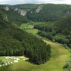
Within the municipality sits the Heuberg military training area, a significant facility for troop training and operations. This presence shapes daily life in certain parts and is integral to the local infrastructure.
Location: Landkreis Sigmaringen
Location: Stetten am kalten Markt VVG
Elevation above the sea: 768 m
Shares border with: Beuron, Schwenningen
Website: http://stetten-akm.de
GPS coordinates: 48.12306,9.07778
Latest update: December 19, 2025 23:01
Hindenburg-Gedächtniskirche Stetten
147 m
Oberes Donautal zwischen Beuron und Sigmaringen
4.1 kmAmandahöhle
3.2 km
Burg Weckenstein
3.6 km
Zigeunerhöhle
7.2 kmRuine Eppenburg
3.9 km
Burg Neidingen
3.4 km
Eulengrube
4.4 km
Burg Schmeien
5.8 km
Höhlenburg Weiler, Beuron
4 km
Schmeietal
3.2 km
Neidinger Heidenschloss (Burg Jagberg), Donautal
3.2 km
Burgstelle Schauenburg, Donautal
3.8 km
Burg Auchtbühl
3.8 kmFallfelsenhöhle
3.4 km
Grenzsteine bei Oberschmeien
3.9 kmFürstenhöhe
6.1 kmGhaiberg
4.4 km
Grenztafeln der Hohenzollernschen Lande
1.2 kmLinde am roten Kreuzle
1.2 kmLinde am Saustall (Hoh-Kreuz-Linde)
1.8 kmRoßkastanie
2.8 kmLinde am Feldkreuz (Mogg_Linde)
1.2 kmLerchenbau-Linde (Goreth-Linde)
1.3 kmEmil-Dreher-Esche
306 mBergäcker-Esche
1.4 kmKlarahöhle (hohler Felsen)
3.3 kmBröllerschacht
3.7 kmVisited this place? Tap the stars to rate it and share your experience / photos with the community! Try now! You can cancel it anytime.
Discover hidden gems everywhere you go!
From secret cafés to breathtaking viewpoints, skip the crowded tourist spots and find places that match your style. Our app makes it easy with voice search, smart filtering, route optimization, and insider tips from travelers worldwide. Download now for the complete mobile experience.
A unique approach to discovering new places❞
— Le Figaro
All the places worth exploring❞
— France Info
A tailor-made excursion in just a few clicks❞
— 20 Minutes