Oberes Donautal zwischen Beuron und Sigmaringen

Log in to your account

AroundUs is a community-driven map of interesting places, built by curious explorers like you. It grows with every review, story, and photo you share.
Connect to save your favorite spots, contribute locations, and create personalized routes.
Continue with Google
Continue with Apple
Continue with X
Continue with Facebook
Continue with email
By continuing, you accept our Terms and Conditions and our Privacy Policy
Create an account

Oberes Donautal zwischen Beuron und Sigmaringen

Add to collection
Map
Suggest a change
Share

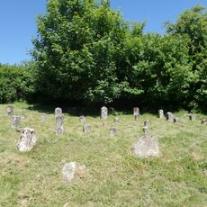
Oberes Donautal zwischen Beuron und Sigmaringen, Nature reserve in Baden-Württemberg, Germany

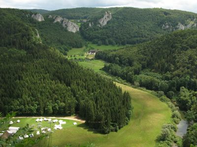
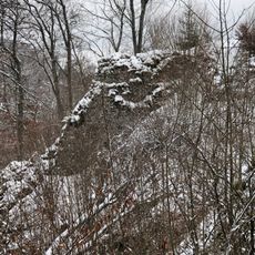
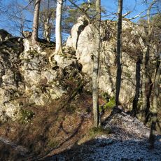
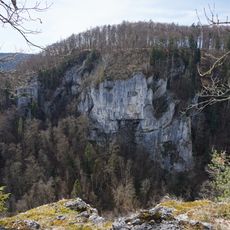
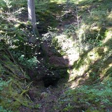
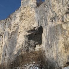
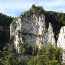
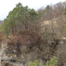
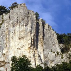
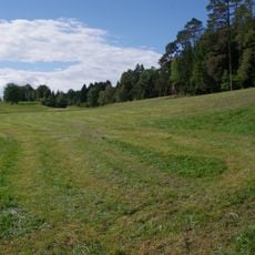
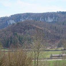
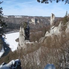
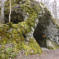
The Upper Danube Valley between Beuron and Sigmaringen is a protected area with steep limestone cliffs, beech forests, and mixed woodlands spanning over 2,700 hectares. The Danube River flows through the terrain, creating a varied landscape with different forest types and riverbank habitats.

The area was designated as a Natura 2000 protected site in 2004, becoming part of the European conservation network. This protection aimed to preserve the diverse habitats and biodiversity of the region for the long term.

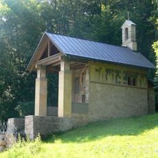
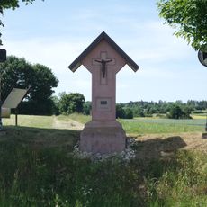
The nature center in Beuron offers educational programs about local ecosystems, connecting visitors with the region's natural heritage through guided tours.

The site can be accessed from eight municipalities, including Sigmaringen, Beuron, and Fridingen an der Donau, which provide multiple entry points. A visitor center in Beuron offers information and guided tours to help visitors understand the natural environment.

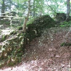
The area supports 17 different protected habitat types, including natural nutrient-rich lakes and calcareous rocky slopes. This diversity makes it especially important for rare plant and animal species in the region.

Location: Beuron

Location: Inzigkofen

Location: Leibertingen

Location: Schwenningen

Location: Stetten am kalten Markt

Location: Sigmaringen

Location: Irndorf

Location: Fridingen an der Donau

Inception: 2004

Part of: Natura 2000

Shares border with: Großer Heuberg und Donautal, Schmeietal, Donau zwischen Riedlingen und Sigmaringen

GPS coordinates: 48.09000,9.05333

Latest update: December 14, 2025 14:41

Photos
Reviews

Visited this place? Tap the stars to rate it and share your experience / photos with the community! Try now! You can cancel it anytime.

« Oberes Donautal zwischen Beuron und Sigmaringen - Nature reserve in Baden-Württemberg, Germany » is provided by Around Us (aroundus.com). Images and texts are derived from Wikimedia project under a Creative Commons license. You are allowed to copy, distribute, and modify copies of this page, under the conditions set by the license, as long as this note is clearly visible.

Discover hidden gems everywhere you go!

From secret cafés to breathtaking viewpoints, skip the crowded tourist spots and find places that match your style. Our app makes it easy with voice search, smart filtering, route optimization, and insider tips from travelers worldwide. Download now for the complete mobile experience.

Around Us App Screenshot

A unique approach to discovering new places

Le Figaro

All the places worth exploring

France Info

A tailor-made excursion in just a few clicks

20 Minutes