
Gäufelden, municipality in Baden-Württemberg, Germany
Location: Böblingen district
Location: Oberes Gäu GVV
Elevation above the sea: 481 m
Website: https://gaeufelden.de
GPS coordinates: 48.55278,8.81917
Latest update: March 7, 2025 10:58
Memorial Hailfingen-Tailfingen concentration camp
3 km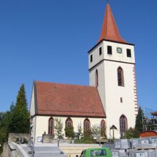
St.-Magnus-Kirche
6.2 km
Pommerlesloch
2.6 km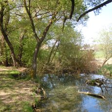
Ammerquellen im Oberen Tal
4.4 km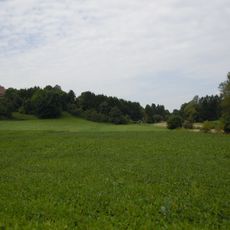
Schmalbachtal nordwestlich von Tailfingen
3.7 km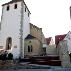
Stephanskirche Nebringen
2.4 km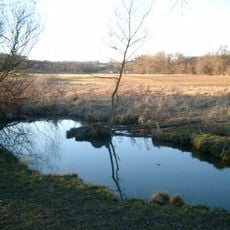
Ammertal vom Ursprung bis zur Kochmühle mit Umgebung
4.6 km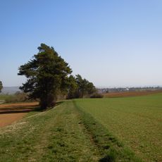
Gebiet um Kuppinger und Jettinger Weg
4 km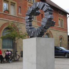
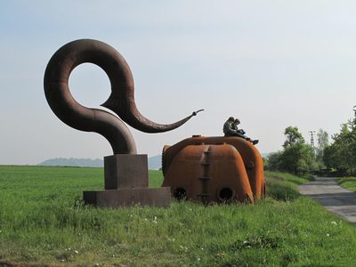
Double bind
5.6 km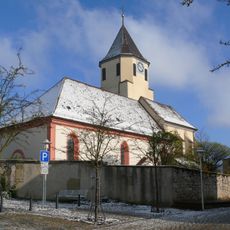
Peterskirche
5 km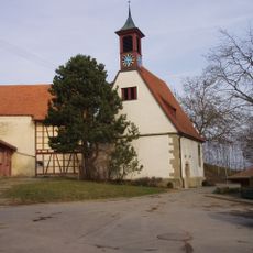
Mauritiuskirche
2 km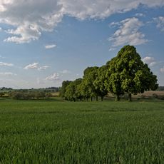
Lindenalle-Haldenäcker
2.3 km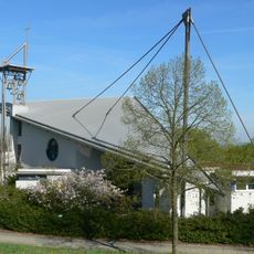
Auferstehungskirche
1.8 km
Hotel Römerhof
5.6 km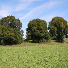
3 Linden auf den Roggenäckern
1.5 km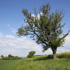
4 Mostbirnbäume Haldenäcker
2.4 km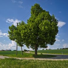
Linde in den Schloßwiesen
1.7 km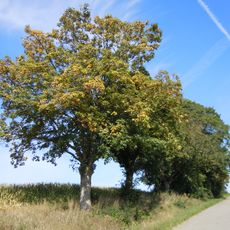
Ahorn- und Lindenallee an Wagners Grund
2.6 km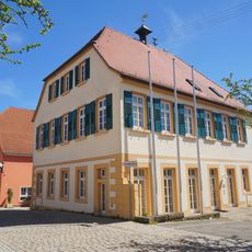
Rathaus Gültstein
5 km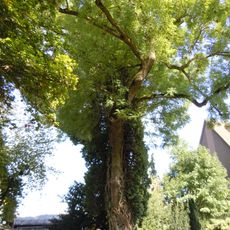
Esche mit Efeu auf dem Friedhof
2.1 km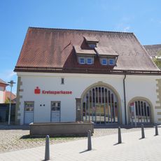
Ehem. Farrenstall
5 km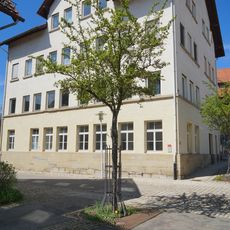
Altes Schulhaus Gültstein
5 km
Obstbaum- und Lindenallee am Dreispitz
2.7 km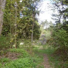
Steinbruch Niederholzer Hald
1.2 km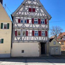
Wohnhaus
6.2 km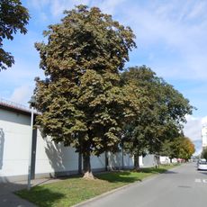
Kastanienallee an der Bahnhofsstraße (11 Roßkast.)
3.6 km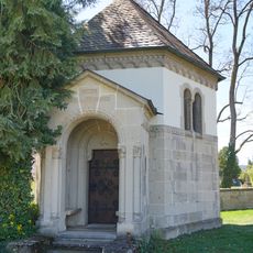
Grabkapelle Otto Kapp von Gültstein
5.1 km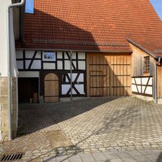
Wohnstallhaus
6.2 kmVisited this place? Tap the stars to rate it and share your experience / photos with the community! Try now! You can cancel it anytime.
Discover hidden gems everywhere you go!
From secret cafés to breathtaking viewpoints, skip the crowded tourist spots and find places that match your style. Our app makes it easy with voice search, smart filtering, route optimization, and insider tips from travelers worldwide. Download now for the complete mobile experience.

A unique approach to discovering new places❞
— Le Figaro
All the places worth exploring❞
— France Info
A tailor-made excursion in just a few clicks❞
— 20 Minutes