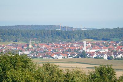
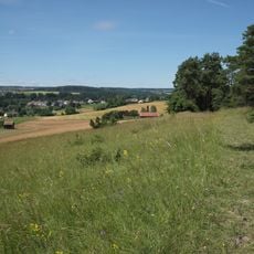
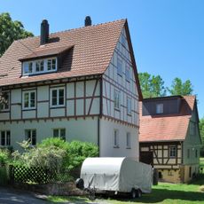
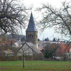
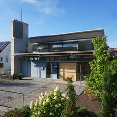
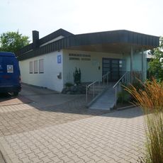
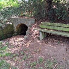
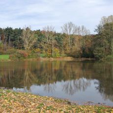
Rutesheim, town in Baden-Württemberg, Germany
Location: Böblingen district
Elevation above the sea: 447 m
Website: http://rutesheim.de
GPS coordinates: 48.80972,8.94500
Latest update: March 3, 2025 02:16
Christoph 41
4 km
Petruskirche
5 km
Schleglerschloss
6.1 km
Freizeitpark Rutesheim
1.6 km
Betzenbuckel
7.5 km
Kirchenburg Weissach
4.5 km
Silberberg
7.7 km
Lahrens mill
4.1 km
Kalkofen
7.1 km
Renningen
5.2 km
Längenbühl
3.7 km
Würmaue am Heuberg
7.7 km
Auferstehungskirche
2.2 km
Neuapostolische Kirche Weissach
4.2 km
Adventistische Kirche Weissach
4.4 km
Blackbird
4.2 km
Evangelisch-methodistische Friedenskirche in Weissach
4.3 km
Weissach (11 Teilgebiete)
4 km
Seventh-day Adventist church in Leonberg
4.2 km
Traubeneiche an der Malmsheimer Straße
2.7 km
Christian-Wagner library
184 m
Vier Eichen am Tannenwäldle
3 km
Königreichssaal
4.2 km
Stedebrunnen
4.7 km
Doline Grandeloch
2.2 km
Tiefenbronner Oberer Grund
7.5 km
Feuchtbiotop Renninger See
4.5 km
Heimatgeschichtliches Museum
4.9 kmVisited this place? Tap the stars to rate it and share your experience / photos with the community! Try now! You can cancel it anytime.
Discover hidden gems everywhere you go!
From secret cafés to breathtaking viewpoints, skip the crowded tourist spots and find places that match your style. Our app makes it easy with voice search, smart filtering, route optimization, and insider tips from travelers worldwide. Download now for the complete mobile experience.
A unique approach to discovering new places❞
— Le Figaro
All the places worth exploring❞
— France Info
A tailor-made excursion in just a few clicks❞
— 20 Minutes