
Wathlingen, municipality of Germany
Location: Celle
Location: Wathlingen
Elevation above the sea: 43 m
Shares border with: Wienhausen, Uetze, Nienhagen
Website: https://gemeinde-wathlingen.de
GPS coordinates: 52.53333,10.15000
Latest update: April 10, 2025 15:27

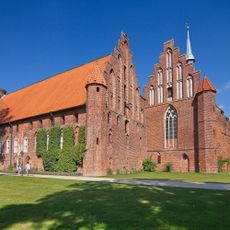
Wienhausen Abbey
5.8 km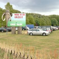
Erse Park
8.7 km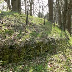
Circular rampart of Burg
7 km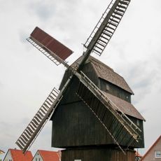
Hänigser Bockwindmühle
7.5 km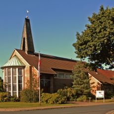
St. Marien
5.1 km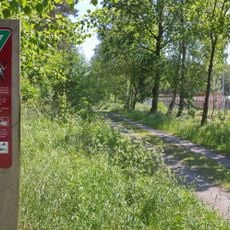
Brand
3.3 km
St. Laurentius (Nienhagen)
3.7 km
St. Marien-Kirche (Wienhausen)
5.8 km
Fuhse-Auwald bei Uetze (Herrschaft)
5.7 km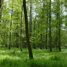
Schilfbruch
6 km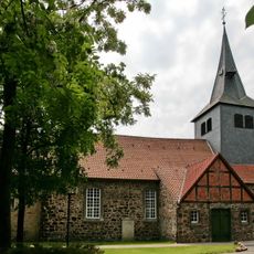
Saint Peter Church
6.7 km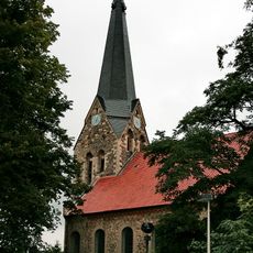
St. Johannes der Täufer
8.5 km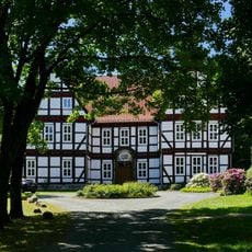
Junkernhof
8.3 km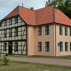
Amtshof Eicklingen
3.5 km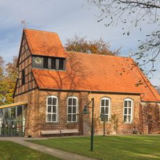
St. Marienkirche
778 m
Heimatmuseum Nienhagen
3.7 km
Maria-Magdalenen-Kapelle
7 km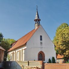
St. Marienkirche
4.7 km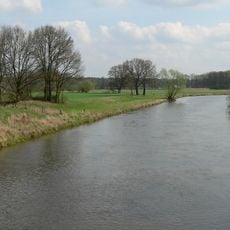
Aller mit Altgewässern und Auenlebensräumen bei Osterloh
6.1 km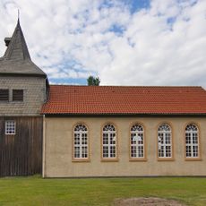
St.-Nicolai-Kirche
7.3 km
Schilfbruch
5.5 km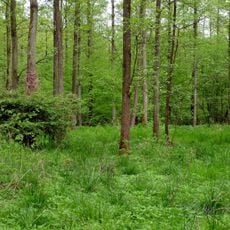
Brand (Landkreis Celle)
2.9 km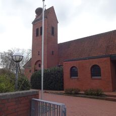
Adelheidsdorf church
8.4 km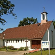
St. Matthias
8.6 km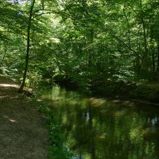
Fuhse-Auwald bei Uetze (Herrschaft)
5.7 km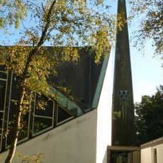
Martin-Luther-Kirche
8.9 km
Brand (Region Hannover)
4 km
Brand
3.5 kmVisited this place? Tap the stars to rate it and share your experience / photos with the community! Try now! You can cancel it anytime.
Discover hidden gems everywhere you go!
From secret cafés to breathtaking viewpoints, skip the crowded tourist spots and find places that match your style. Our app makes it easy with voice search, smart filtering, route optimization, and insider tips from travelers worldwide. Download now for the complete mobile experience.

A unique approach to discovering new places❞
— Le Figaro
All the places worth exploring❞
— France Info
A tailor-made excursion in just a few clicks❞
— 20 Minutes